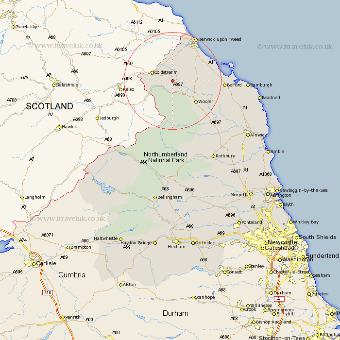
Northumberland Map Showing Location of Crookham
District: Berwick-upon-Tweed
Easting: 391603 Northing: 635908
Latitude: 55.62 Longitude: -2.13
 = Crookham
Easting: 391603 Northing: 635908
Latitude: 55.62 Longitude: -2.13
= Crookham
This Crookham map below is supplied by Google. Use the tools in the top left corner to zoom into street level or zoom out for a road map, you may also need to zoom in to see Crookham on the map. Click and drag the map to move around. If the map fails to load try and refresh your browser or zoom in or out (+ or -).
Update - it seems Google no longer allow people to use their maps for free! This Crookham map sometimes loads and sometimes gives a error. I am working on a solution.
Closest 30 Towns or Cities to Crookham (Population over 500)
Lowick 10.62km Norham 11.17km Ancroft 12.48km Wooler 12.5km East Ord 16.53km Ord 16.53km Belford 18.93km Berwick on Tweed 20.33km Berwick upon Tweed 20.33km Berwick-Upon-Tweed 20.33km Berwick 20.33km Berwick-upon-Tweed 20.33km Berwick-on-Tweed 20.33km North Sunderland 29.84km Beadnell 32.29km Embleton 35.72km Alnwick 36.4km Almwick 36.4km Rothbury 36.46km Shilbottle 39.7km Alnmouth 41.33km Lisburg 41.62km Lesbury 41.62km Longframlington 43.14km Swarland 43.31km Warkworth 44.04km Otterburn 44.53km Felton 46.06km Thirston 46.69km East Thirston 46.69km