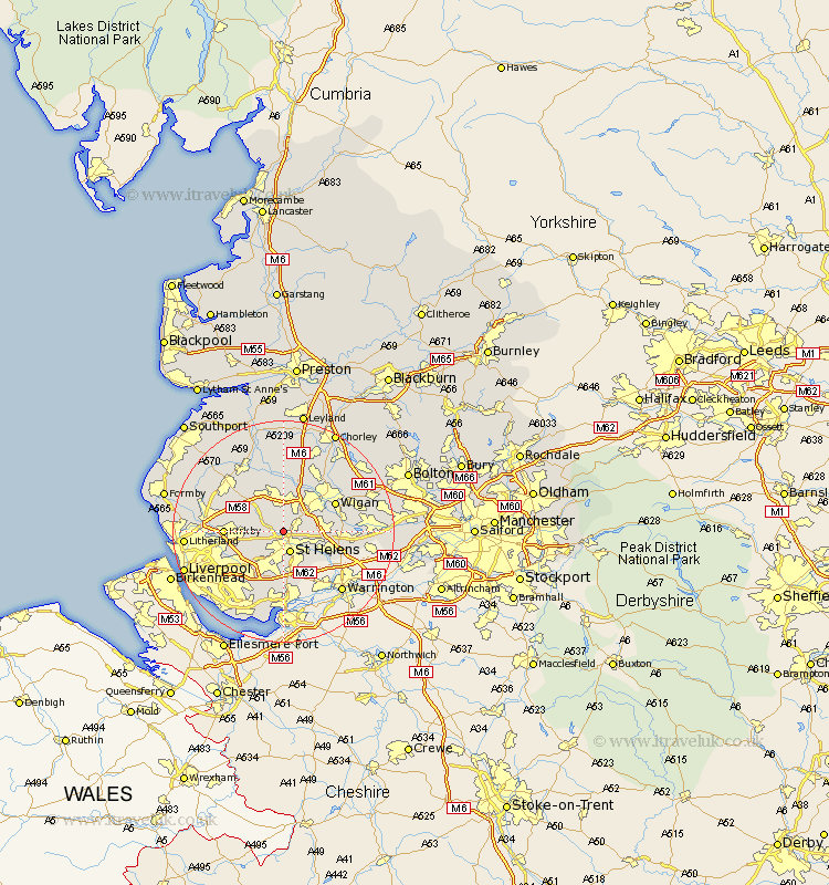
Lancashire Map Showing Location of Crank
District: St. Helens
Easting: 350236 Northing: 398798
Latitude: 53.48 Longitude: -2.75
 = Crank
Easting: 350236 Northing: 398798
Latitude: 53.48 Longitude: -2.75
= Crank
This Crank map below is supplied by Google. Use the tools in the top left corner to zoom into street level or zoom out for a road map, you may also need to zoom in to see Crank on the map. Click and drag the map to move around. If the map fails to load try and refresh your browser or zoom in or out (+ or -).
Update - it seems Google no longer allow people to use their maps for free! This Crank map sometimes loads and sometimes gives a error. I am working on a solution.
Closest 30 Towns or Cities to Crank (Population over 500)
Billinge 3.79km Saint Helens 3.86km St. Helens 3.86km St Helens 3.86km Eccleston 4.31km Rainford 4.97km Haydock 5.82km Skelmersdale 6.47km Ashton in Makerfield 6.62km Ashton 6.62km Bickerstaffe 6.65km Knowsley 7.58km Prescott 8.11km Prescot 8.11km Rainhill 9.33km Rainhull 9.33km Appley Bridge 9.53km Kirkby 9.93km Golborne 10.1km Shevington 10.27km Lathom 10.27km Ince-in-Makerfield 10.42km Wigan 10.42km Ince 10.42km Melling 11.03km Cronton 11.17km Parbold 11.17km Huyton with Roby 11.39km Huyton 11.39km Abram 11.63km