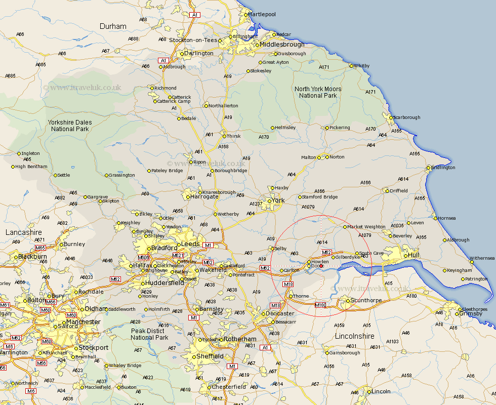
Yorkshire Map Showing Location of Cotness
Easting: 479183 Northing: 425169
Latitude: 53.72 Longitude: -0.8
 = Cotness
Latitude: 53.72 Longitude: -0.8
= Cotness
This Cotness map below is supplied by Google. Use the tools in the top left corner to zoom into street level or zoom out for a road map, you may also need to zoom in to see Cotness on the map. Click and drag the map to move around. If the map fails to load try and refresh your browser or zoom in or out (+ or -).
Update - it seems Google no longer allow people to use their maps for free! This Cotness map sometimes loads and sometimes gives a error. I am working on a solution.
Closest 30 Towns or Cities to Cotness (Population over 500)
Hook 3.29km Eastrington 3.86km Swinefleet 4.31km Goole 4.39km Howden 4.76km Airmyn 6.58km Rawcliffe 10.55km North Cave 11.32km Newport 11.57km Holme 13.15km Holme upon Spalding Moor 13.15km Hemingbrough 13.28km Cliff Common Station 13.28km Cliffe Common 13.28km Bubwith 13.51km South Cave 14.28km Brough 14.38km Carlton 14.38km Barlow 14.73km Seaton Ross 14.86km Welton 15.46km Snaith 15.8km Thorne 17km Moorends 17.25km Pollington 18.42km Melbourne 18.81km Market Weighton 18.84km Selby 19.03km Fishlake 19.29km Brayton 19.44km