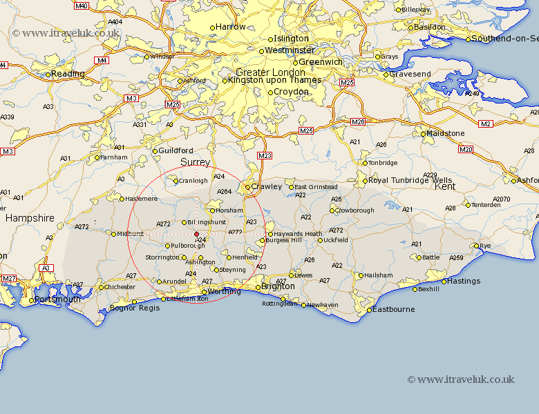
Sussex Map Showing Location of Coolham
District: Horsham
Easting: 512297 Northing: 121711
Latitude: 50.98 Longitude: -0.4
 = Coolham
Easting: 512297 Northing: 121711
Latitude: 50.98 Longitude: -0.4
= Coolham
This Coolham map below is supplied by Google. Use the tools in the top left corner to zoom into street level or zoom out for a road map, you may also need to zoom in to see Coolham on the map. Click and drag the map to move around. If the map fails to load try and refresh your browser or zoom in or out (+ or -).
Update - it seems Google no longer allow people to use their maps for free! This Coolham map sometimes loads and sometimes gives a error. I am working on a solution.
Closest 30 Towns or Cities to Coolham (Population over 500)
Shipley 2.98km West Grinstead 5.02km Southwater 5.1km Billingshurst 5.1km Thakeham 5.68km Itchingfield 5.68km West Chillington 6.57km West Chiltington 6.57km Nuthurst 7.24km Slinfold 7.42km Ashington 7.5km Wisborough Green 7.92km Storrington 8.06km West Horsham 8.76km Horsham 8.76km Pulborough 8.97km Washington 9.26km Cowfold 9.33km Coldwaltham 10.87km Kirdford 11.13km Lower Beeding 11.13km Amberley 11.92km Henfield 11.92km Warnham 12.06km Fittleworth 12.24km Loxwood 12.35km Steyning 12.56km Upper Bleeding 12.56km Bramber 12.56km Upper Beeding 12.56km