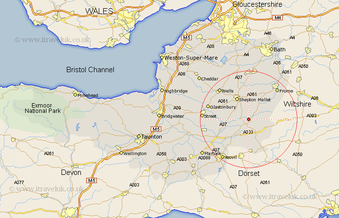
Somerset Map Showing Location of Cole
District: South Somerset
Easting: 366161 Northing: 133580
Latitude: 51.1 Longitude: -2.48
 = Cole
Easting: 366161 Northing: 133580
Latitude: 51.1 Longitude: -2.48
= Cole
This Cole map below is supplied by Google. Use the tools in the top left corner to zoom into street level or zoom out for a road map, you may also need to zoom in to see Cole on the map. Click and drag the map to move around. If the map fails to load try and refresh your browser or zoom in or out (+ or -).
Update - it seems Google no longer allow people to use their maps for free! This Cole map sometimes loads and sometimes gives a error. I am working on a solution.
Closest 30 Towns or Cities to Cole (Population over 500)
Castle Cary 2.98km Bruton 3.49km Redlynch 3.49km Ditcheat 3.95km Evercreech 5.68km Wincanton 6.11km North Cadbury 7.77km Sparkford 9.43km Pilton 10.18km Shepun 10.37km Shepton Mallet 10.37km Queen Camel 11.6km Barton St David 11.64km Barton St. David 11.64km Barton Saint David 11.64km Baltonsborough 11.78km West Pennard 12.89km Nunney 13.13km Leigh 13.18km Leigh-on-Mendip 13.18km Leigh upon Mendip 13.18km Leigh on Mendip 13.18km Charlton Mackrell 13.33km Butleigh 13.97km Coleford 14.54km Holcombe 14.82km Milborne Port 14.87km Mells 15.92km Henstridge 15.93km Mudford 15.98km