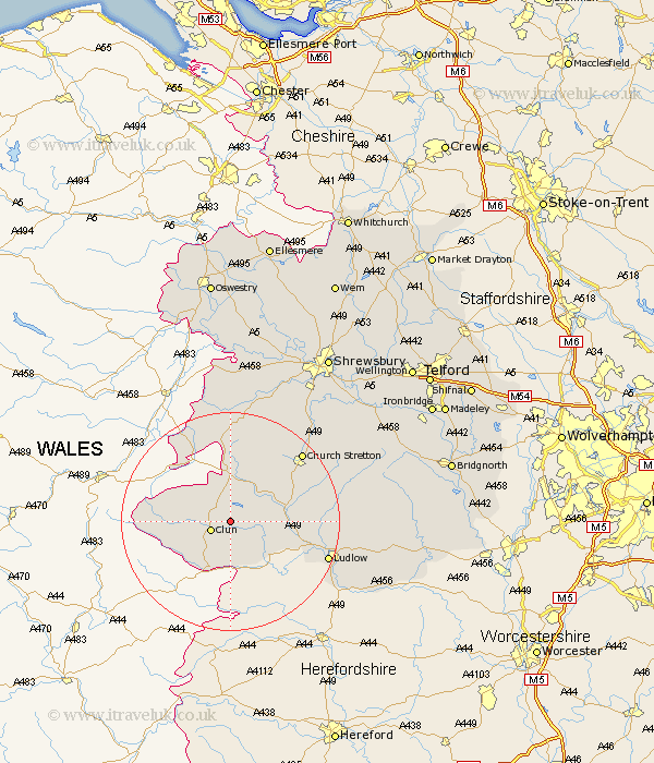
Shropshire Map Showing Location of Clunton
District: South Shropshire
Easting: 333154 Northing: 282198
Latitude: 52.43 Longitude: -2.98
 = Clunton
Easting: 333154 Northing: 282198
Latitude: 52.43 Longitude: -2.98
= Clunton
This Clunton map below is supplied by Google. Use the tools in the top left corner to zoom into street level or zoom out for a road map, you may also need to zoom in to see Clunton on the map. Click and drag the map to move around. If the map fails to load try and refresh your browser or zoom in or out (+ or -).
Update - it seems Google no longer allow people to use their maps for free! This Clunton map sometimes loads and sometimes gives a error. I am working on a solution.
Closest 30 Towns or Cities to Clunton (Population over 500)
Clun 3.86km North Lydbury 4.35km Lydbury North 4.35km Bucknell 7.74km Wistanstow 9.77km Craven Arms 10.17km Shelve 16.68km Church Stretton 17.96km Chirburg 18km Chirbury 18km Diddlebury 18.45km Ludlow 18.51km Rushbury 20.3km Minsterley 22.49km Bitterley 22.91km Caynham 23.4km Pontesbury 25.03km Westbury 27.89km Condover 28.8km Ditton Priors 29.18km Hanwood 30km Great Hanwood 30km Baystonhill 30.37km Berrington 30.79km Alberbury 31.59km Ford 32.78km Cressage 33.31km Cleobury Mortimer 34.37km Much Wenlock 34.69km Bicton 35.21km