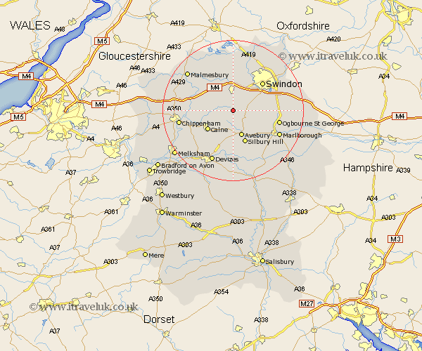
Wiltshire Map Showing Location of Cliffe Pypard
District: North Wiltshire
Easting: 406943 Northing: 176097
Latitude: 51.48 Longitude: -1.9
 = Cliffe Pypard
Easting: 406943 Northing: 176097
Latitude: 51.48 Longitude: -1.9
= Cliffe Pypard
This Cliffe Pypard map below is supplied by Google. Use the tools in the top left corner to zoom into street level or zoom out for a road map, you may also need to zoom in to see Cliffe Pypard on the map. Click and drag the map to move around. If the map fails to load try and refresh your browser or zoom in or out (+ or -).
Update - it seems Google no longer allow people to use their maps for free! This Cliffe Pypard map sometimes loads and sometimes gives a error. I am working on a solution.
Closest 30 Towns or Cities to Cliffe Pypard (Population over 500)
Broad Town 2.31km Broad Hinton 4.62km Hillmarton 4.97km Hilmarton 4.97km Wooton Bassett 5.56km Wootton Bassett 5.56km Lyneham 5.92km Cherhill 8.18km Calne 8.88km Wroughton 8.89km Brinkworth 9.39km Lydiard Millicent 9.56km Bremhill 9.95km Christian Malford 10.55km Purton 11.36km Swindon 11.48km Somerford 12.8km Great Somerford 12.8km Sutton Benger 12.83km Chiseldon 12.83km Bishops Cannings 13.42km Roundway 14.19km Blunsdon 14.7km Blunsdon St. Andrew 14.7km Blunsdon St Andrew 14.7km Blunsdon Saint Andrew 14.7km Marlborough 14.7km Lea 14.8km Wanborough 14.92km Stratton Saint Margaret 15.21km