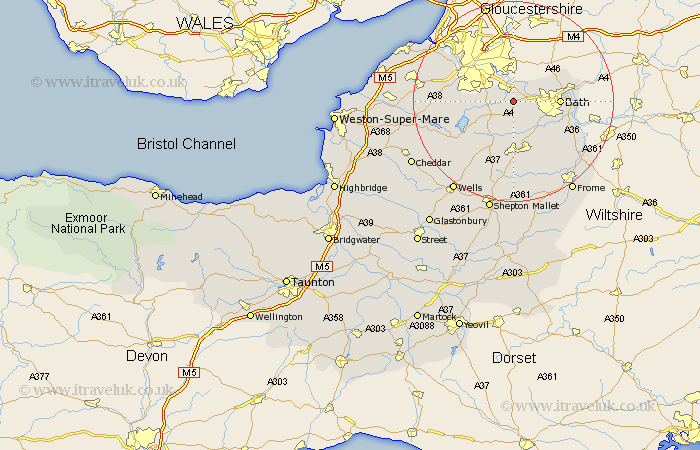
Somerset Map Showing Location of Burnett
Easting: 366368 Northing: 165083
Latitude: 51.38 Longitude: -2.48
 = Burnett
Latitude: 51.38 Longitude: -2.48
= Burnett
This Burnett map below is supplied by Google. Use the tools in the top left corner to zoom into street level or zoom out for a road map, you may also need to zoom in to see Burnett on the map. Click and drag the map to move around. If the map fails to load try and refresh your browser or zoom in or out (+ or -).
Update - it seems Google no longer allow people to use their maps for free! This Burnett map sometimes loads and sometimes gives a error. I am working on a solution.
Closest 30 Towns or Cities to Burnett (Population over 500)
Keynsham 2.19km Compton Dando 2.31km Saltford 2.97km Publow 3.93km Farmborough 5.68km Farmboro 5.68km Whitchurch 6.07km Temple Cloud 6.09km Clutton 6.56km Timsbury 7.41km Camerton 7.76km Bath 9.25km Paulton 9.34km Great Chew 9.44km Chew Magna 9.44km Wellow 10.15km Dundry 10.57km Chew Stoke 11.05km Bathampton 11.57km Winford 11.57km Farrington Gurney 11.65km Batheaston 11.71km Long Ashton 12.83km Bathford 12.85km Stratton 13.02km Stratton-on-the-Fosse 13.02km Chilcompton 13.02km Stratton on the Fosse 13.02km Kilmersdon 13.42km Kilmersden 13.42km