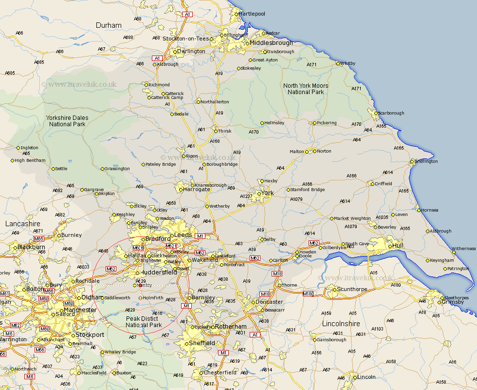
Yorkshire Map Showing Location of Brockholes
District: Kirklees
Easting: 415439 Northing: 411544
Latitude: 53.6 Longitude: -1.77
 = Brockholes
Easting: 415439 Northing: 411544
Latitude: 53.6 Longitude: -1.77
= Brockholes
This Brockholes map below is supplied by Google. Use the tools in the top left corner to zoom into street level or zoom out for a road map, you may also need to zoom in to see Brockholes on the map. Click and drag the map to move around. If the map fails to load try and refresh your browser or zoom in or out (+ or -).
Update - it seems Google no longer allow people to use their maps for free! This Brockholes map sometimes loads and sometimes gives a error. I am working on a solution.
Closest 30 Towns or Cities to Brockholes (Population over 500)
Honley 2.2km Shepley 3.79km Kirkburton 4.4km Shelley 5.5km Holmfirth 5.56km Huddersfield 5.67km Meltham 5.8km Holme 7.09km Denby Dale 7.57km Emley 8.99km Mirfield 9.23km Dunford Bridge 9.33km Elland 10.25km Brighouse 11.17km Liversedge 11.96km Middletown 12.32km Middlestown 12.32km Cawthorne 12.66km Heckmondwike 12.93km Bretton 13.32km West Bretton 13.32km Cleckheaton 13.39km Penistone 13.56km Halifax 14.09km Batley 14.15km Ripponden 14.18km Dewsbury 14.88km Drewsbury 14.88km Ossett 15.13km Silkstone 15.15km