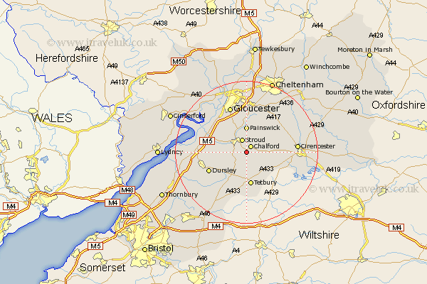
Gloucestershire Map Showing Location of Brimscombe
District: Stroud
Easting: 387336 Northing: 202063
Latitude: 51.72 Longitude: -2.18
 = Brimscombe
Easting: 387336 Northing: 202063
Latitude: 51.72 Longitude: -2.18
= Brimscombe
This Brimscombe map below is supplied by Google. Use the tools in the top left corner to zoom into street level or zoom out for a road map, you may also need to zoom in to see Brimscombe on the map. Click and drag the map to move around. If the map fails to load try and refresh your browser or zoom in or out (+ or -).
Update - it seems Google no longer allow people to use their maps for free! This Brimscombe map sometimes loads and sometimes gives a error. I am working on a solution.
Closest 30 Towns or Cities to Brimscombe (Population over 500)
Chalford 2.17km Minchinhampton 2.18km Woodchester 3.44km Stroud 3.88km Avening 3.89km Nailsworth 3.89km Horsley 5.07km Randwick 7.21km Painswick 7.41km Stonehouse 7.82km Tetbury 9.34km Uley 9.91km Coaley 10.33km Cam 11.63km Dursley 11.74km Quedgeley 13.08km Hardwicke 13.72km Gloucester 13.75km Slimbridge 13.78km Frampton-on-Severn 13.79km Frampton on Severn 13.79km Frampton 13.79km Cicester 13.9km Cirencester 13.9km Wotton under Edge 14.77km Wotton-under-Edge 14.77km Hucclecote 14.82km North Nibley 14.87km Brockworth 14.87km North Cerney 15.92km