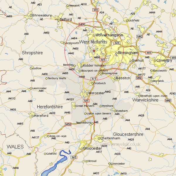
Worcestershire Map Showing Location of Brettell Lane
District: Dudley
Easting: 390946 Northing: 287313
Latitude: 52.48 Longitude: -2.13
 = Brettell Lane
Easting: 390946 Northing: 287313
Latitude: 52.48 Longitude: -2.13
= Brettell Lane
This Brettell Lane map below is supplied by Google. Use the tools in the top left corner to zoom into street level or zoom out for a road map, you may also need to zoom in to see Brettell Lane on the map. Click and drag the map to move around. If the map fails to load try and refresh your browser or zoom in or out (+ or -).
Update - it seems Google no longer allow people to use their maps for free! This Brettell Lane map sometimes loads and sometimes gives a error. I am working on a solution.
Closest 30 Towns or Cities to Brettell Lane (Population over 500)
Stourbridge 1.85km Netherton 3.39km Hagley 5.67km Halesowen 6.75km Clent 7.49km Oldbury 8.11km Churchill 8.14km Romsley 9.31km Belbroughton 9.33km Kidderminster 13.65km Stone 13.73km Lickey End 14.14km Lickey 14.14km Dodford 14.99km Great Dodford 14.99km Chaddesley Corbett 14.99km Arley 15.7km Upper Arley 15.7km Cofton Hackett 16.48km Coston Hackett 16.48km Bewdley 16.68km Bromsgrove 17.28km Stourport 17.36km Stourport-on-Severn 17.36km Stourport on Severn 17.36km Barnt Green 17.98km Hartlebury 18.01km Alvechurch 20.8km Stoke Prior 20.88km Astley 23.88km