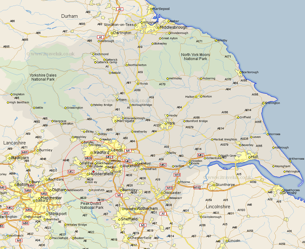
Yorkshire Map Showing Location of Bradley
District: Kirklees
Easting: 417617 Northing: 418971
Latitude: 53.67 Longitude: -1.73
 = Bradley
Easting: 417617 Northing: 418971
Latitude: 53.67 Longitude: -1.73
= Bradley
This Bradley map below is supplied by Google. Use the tools in the top left corner to zoom into street level or zoom out for a road map, you may also need to zoom in to see Bradley on the map. Click and drag the map to move around. If the map fails to load try and refresh your browser or zoom in or out (+ or -).
Update - it seems Google no longer allow people to use their maps for free! This Bradley map sometimes loads and sometimes gives a error. I am working on a solution.
Closest 30 Towns or Cities to Bradley (Population over 500)
Mirfield 3.29km Huddersfield 3.78km Liversedge 4.31km Brighouse 4.96km Cleckheaton 5.67km Heckmondwike 5.74km Elland 6.84km Kirkburton 7.73km Batley 7.96km Shelley 8.12km Dewsbury 8.53km Drewsbury 8.53km Honley 8.62km Emley 8.62km Middletown 8.98km Middlestown 8.98km Shepley 9.34km Halifax 9.48km Ossett 10.98km Denby Dale 11.96km Meltham 12.05km Horbury 12.08km Bretton 12.31km West Bretton 12.31km Morley 12.34km Bradford 13.01km Holmfirth 13.16km Pudsey 13.69km Crigglestone 13.7km Ripponden 14.27km