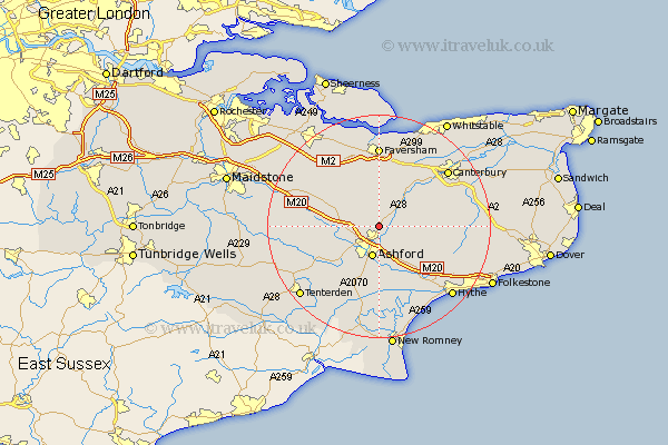
Kent Map Showing Location of Boughton Aulph
District: Ashford
Easting: 602651 Northing: 146729
Latitude: 51.18 Longitude: 0.9
 = Boughton Aulph
Easting: 602651 Northing: 146729
Latitude: 51.18 Longitude: 0.9
= Boughton Aulph
This Boughton Aulph map below is supplied by Google. Use the tools in the top left corner to zoom into street level or zoom out for a road map, you may also need to zoom in to see Boughton Aulph on the map. Click and drag the map to move around. If the map fails to load try and refresh your browser or zoom in or out (+ or -).
Update - it seems Google no longer allow people to use their maps for free! This Boughton Aulph map sometimes loads and sometimes gives a error. I am working on a solution.
Closest 30 Towns or Cities to Boughton Aulph (Population over 500)
Wye 2.32km Kennington 3.88km Ashford 5.68km Hinxhill 6.03km Hothfield 6.89km Charing 7.21km Chilham 7.24km Smeeth 8.74km Brabourne 8.92km Selling 9.35km Mersham 9.55km Kingsnorth 9.9km Pluckley 10.46km Shadoxhurst 10.94km Chartham 11km Petham 11.09km Sellindge 11.6km Sellinge 11.6km Stelling 11.62km Egerton 11.62km Aldington 11.65km Bethersden 11.89km Dunkirk 12.54km Lower Hardres 12.87km Doddington 13.12km Ospringe 13.18km Orlestone 13.43km Lenham 13.93km Harbledown 14.49km Lyminge 14.78km