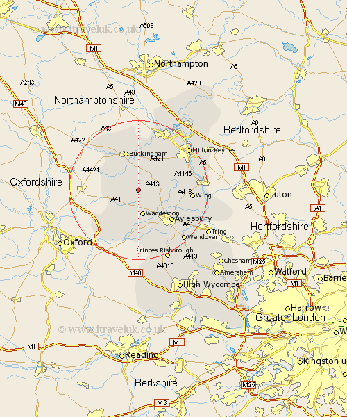
Buckinghamshire Map Showing Location of Botolph Claydon
District: Aylesbury Vale
Easting: 473382 Northing: 222970
Latitude: 51.9 Longitude: -0.93
 = Botolph Claydon
Easting: 473382 Northing: 222970
Latitude: 51.9 Longitude: -0.93
= Botolph Claydon
This Botolph Claydon map below is supplied by Google. Use the tools in the top left corner to zoom into street level or zoom out for a road map, you may also need to zoom in to see Botolph Claydon on the map. Click and drag the map to move around. If the map fails to load try and refresh your browser or zoom in or out (+ or -).
Update - it seems Google no longer allow people to use their maps for free! This Botolph Claydon map sometimes loads and sometimes gives a error. I am working on a solution.
Closest 30 Towns or Cities to Botolph Claydon (Population over 500)
Quainton 3.88km North Marston 4.94km Claydon 5.05km Steeple Claydon 5.05km Grendon Underwood 5.89km Whitchurch 7.11km Whitechurch 7.11km Winslow 7.2km Padbury 7.5km Waddesdon 7.5km Twyford 7.8km Marsh Gibbon 8km Great Horwood 8.71km Gawcott 8.71km Mursley 8.82km Thornborough 9.33km Maids Moreton 11.35km Buckingham 11.63km Tingewick 12.24km Brill 12.25km Stone 12.51km Stewkley 12.71km Aylesbury 13.02km Cuddington 13.03km Newton Longville 13.62km Stowe 14.18km Oakley 14.41km Haddenham 14.87km Chearsley 14.87km Wing 14.98km