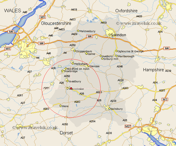
Wiltshire Map Showing Location of Boreham
District: West Wiltshire
Easting: 389520 Northing: 144599
Latitude: 51.2 Longitude: -2.15
 = Boreham
Easting: 389520 Northing: 144599
Latitude: 51.2 Longitude: -2.15
= Boreham
This Boreham map below is supplied by Google. Use the tools in the top left corner to zoom into street level or zoom out for a road map, you may also need to zoom in to see Boreham on the map. Click and drag the map to move around. If the map fails to load try and refresh your browser or zoom in or out (+ or -).
Update - it seems Google no longer allow people to use their maps for free! This Boreham map sometimes loads and sometimes gives a error. I am working on a solution.
Closest 30 Towns or Cities to Boreham (Population over 500)
Warminster 2.32km Heytesbury 2.97km Dilton 5.08km Longbridge Deverill 5.08km Westbury 6.03km Corsley 7.21km Bratton 7.77km Edington 8.19km Codford 8.92km North Bradley 10.36km Southwick 10.93km Erlestoke 10.93km Hindon 11.18km Steeple Ashton 11.18km West Lavington 11.83km Hilperton 13.18km Worton 14.21km Trowbridge 14.21km Mere 14.73km Lavington 14.85km Market Lavington 14.85km Bishop's Knoyle 14.87km East Knoyle 14.87km Bradford on Avon 15.23km Bradford-on-Avon 15.23km Tisbury 15.53km Westwood 15.95km Potterne 15.95km Zeal 16.09km Zeals 16.09km