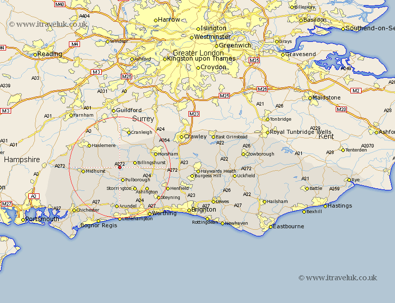
Sussex Map Showing Location of Bodiam
District: Chichester
Easting: 502903 Northing: 123373
Latitude: 51 Longitude: -0.53
 = Bodiam
Easting: 502903 Northing: 123373
Latitude: 51 Longitude: -0.53
= Bodiam
This Bodiam map below is supplied by Google. Use the tools in the top left corner to zoom into street level or zoom out for a road map, you may also need to zoom in to see Bodiam on the map. Click and drag the map to move around. If the map fails to load try and refresh your browser or zoom in or out (+ or -).
Update - it seems Google no longer allow people to use their maps for free! This Bodiam map sometimes loads and sometimes gives a error. I am working on a solution.
Closest 30 Towns or Cities to Bodiam (Population over 500)
Kirdford 2.19km Wisborough Green 2.98km Petworth 5.02km Pulborough 5.68km Fittleworth 6.03km Plaistow 6.03km Billingshurst 6.12km Tillington 6.12km Coldwaltham 7.42km Loxwood 7.51km North Chapel 8.94km Northchapel 8.94km Amberley 9.26km West Chillington 9.44km West Chiltington 9.44km Lurgashall 9.51km Storrington 10.83km Slinfold 10.86km Thakeham 11.03km Itchingfield 11.13km Bury 11.36km Shipley 12.24km Graffham 12.86km Southwater 12.96km Rudgwick 13.13km Fernhurst 13.35km Ashington 14.01km Midhurst 14.12km West Grinstead 14.48km Washington 14.52km