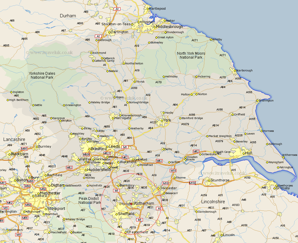
Yorkshire Map Showing Location of Blackburn
District: Rotherham
Easting: 442071 Northing: 393161
Latitude: 53.43 Longitude: -1.37
 = Blackburn
Easting: 442071 Northing: 393161
Latitude: 53.43 Longitude: -1.37
= Blackburn
This Blackburn map below is supplied by Google. Use the tools in the top left corner to zoom into street level or zoom out for a road map, you may also need to zoom in to see Blackburn on the map. Click and drag the map to move around. If the map fails to load try and refresh your browser or zoom in or out (+ or -).
Update - it seems Google no longer allow people to use their maps for free! This Blackburn map sometimes loads and sometimes gives a error. I am working on a solution.
Closest 30 Towns or Cities to Blackburn (Population over 500)
Rotherdam 1.1km Rotherham 1.1km Rawmarsh 2.89km Whiston 4.31km Thrybergh 4.79km Wentworth 4.98km Orgreave 5.56km Treeton 5.67km Wickersley 5.82km Swinton 6.47km Ecclesfield 6.62km Bramley 6.88km Wath 7.5km Wath upon Dearne 7.5km Wath-on-Dearne 7.5km Wath on Dearne 7.5km Tankersley 8.65km Mexborough 8.65km Brampton en le Morthen 8.65km Brampton en le Morthern 8.65km Brampton 8.65km Hoyland 9.24km Hoyland Nether 9.24km Wombwell 9.53km Aston 10.26km Conisbrough 10.6km Conisborough 10.6km Birdwell 10.71km Braithwell 11.04km Darsfield 11.17km