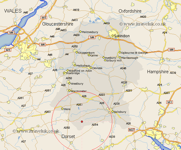
Wiltshire Map Showing Location of Berwick Saint John
District: Salisbury
Easting: 395322 Northing: 122352
Latitude: 51 Longitude: -2.07
 = Berwick Saint John
Easting: 395322 Northing: 122352
Latitude: 51 Longitude: -2.07
= Berwick Saint John
This Berwick Saint John map below is supplied by Google. Use the tools in the top left corner to zoom into street level or zoom out for a road map, you may also need to zoom in to see Berwick Saint John on the map. Click and drag the map to move around. If the map fails to load try and refresh your browser or zoom in or out (+ or -).
Update - it seems Google no longer allow people to use their maps for free! This Berwick Saint John map sometimes loads and sometimes gives a error. I am working on a solution.
Closest 30 Towns or Cities to Berwick Saint John (Population over 500)
Semley 6.91km Fovant 7.26km Tisbury 7.51km Broad Chalke 9.51km East Knoyle 10.19km Bishop's Knoyle 10.19km Dinton 10.94km Bishopstone 11.81km Hindon 12.06km Coombe Bissett 15.6km Combebissett 15.6km Mere 15.81km Codford 16.72km Wilton 16.77km Longford 17.51km Steeple Langford 17.51km South Newton 17.86km Odstock 20.16km Heytesbury 20.68km Zeals 20.71km Zeal 20.71km Longbridge Deverill 20.74km Salisbury 21.16km New Sarum 21.16km Britford 21.31km Downton 23.33km Shrewton 23.47km Alderbury 23.61km Warminster 23.68km Redlynch 24.57km