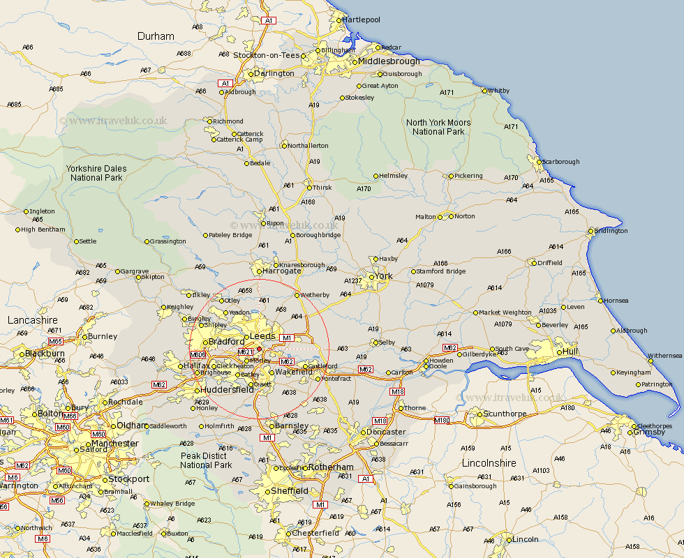
Yorkshire Map Showing Location of Belle Isle
District: Leeds
Easting: 430757 Northing: 430164
Latitude: 53.77 Longitude: -1.53
 = Belle Isle
Easting: 430757 Northing: 430164
Latitude: 53.77 Longitude: -1.53
= Belle Isle
This Belle Isle map below is supplied by Google. Use the tools in the top left corner to zoom into street level or zoom out for a road map, you may also need to zoom in to see Belle Isle on the map. Click and drag the map to move around. If the map fails to load try and refresh your browser or zoom in or out (+ or -).
Update - it seems Google no longer allow people to use their maps for free! This Belle Isle map sometimes loads and sometimes gives a error. I am working on a solution.
Closest 30 Towns or Cities to Belle Isle (Population over 500)
Rothwell 3.78km Lofthouse 4.31km Leeds 4.95km Morley 4.96km Swillington 7.67km Stanley 8.11km Wakefield 8.11km Pudsey 8.95km Drewsbury 9.22km Dewsbury 9.22km Scholes 9.47km Horsforth 9.9km Batley 9.98km Garforth 10.03km Normanton 10.67km Kippax 10.95km Horbury 11.17km Ossett 11.33km Heckmondwike 11.49km Thorner 12.02km Scarcroft 12.39km Liversedge 13.24km Featherstone 13.24km Cleckheaton 13.28km Castleford 13.28km Micklefield 13.65km Middlestown 13.7km Middletown 13.7km Bramhope 14.07km Yeadon 14.15km