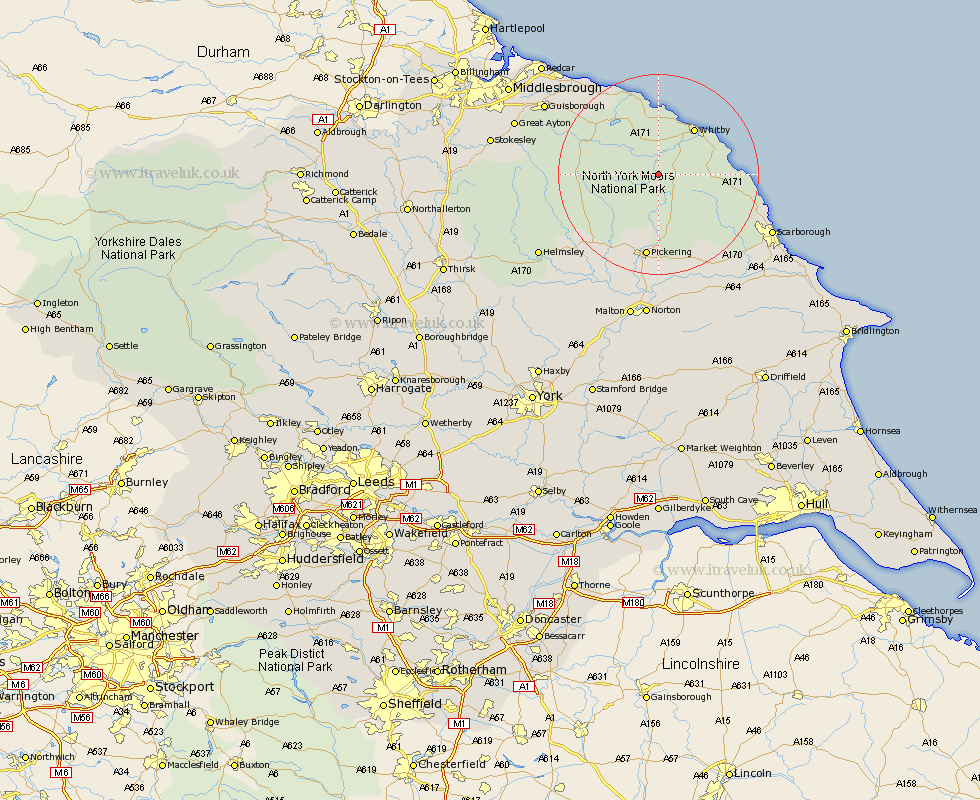
Yorkshire Map Showing Location of Beck Hole
District: Scarborough
Easting: 482221 Northing: 501258
Latitude: 54.4 Longitude: -0.73
 = Beck Hole
Easting: 482221 Northing: 501258
Latitude: 54.4 Longitude: -0.73
= Beck Hole
This Beck Hole map below is supplied by Google. Use the tools in the top left corner to zoom into street level or zoom out for a road map, you may also need to zoom in to see Beck Hole on the map. Click and drag the map to move around. If the map fails to load try and refresh your browser or zoom in or out (+ or -).
Update - it seems Google no longer allow people to use their maps for free! This Beck Hole map sometimes loads and sometimes gives a error. I am working on a solution.
Closest 30 Towns or Cities to Beck Hole (Population over 500)
Sleights 7.04km Whitby 11.71km Hawsker 12.13km Fylingdales 13.08km Hinderwell 14.98km Pickering 16.82km Thornton Dale 18.57km Thornton-le-Dale 18.57km Loftus 19.29km Kirkby Moorside 19.69km Kirby Moorside 19.69km Cloughton 20.8km Burniston 21.53km Snainton 22.59km Brotton 22.59km Skelton-in-Cleveland 23.22km Skelton 23.22km Scalby 23.38km Yedingham 23.49km Brompton 23.6km Ingleby 24.01km Scarborough 24.19km Nawton 24.63km Guisborough 25.27km Saltburn 26.01km Saltburn-by-the-Sea 26.01km Saltburn by the Sea 26.01km Seamer 26.87km Helmsley 27.3km Rillington 27.88km