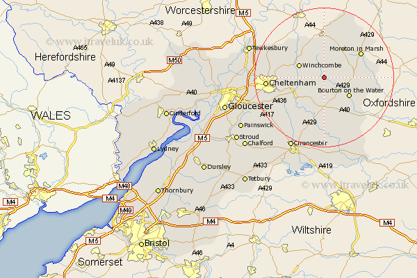
Gloucestershire Map Showing Location of Barton
District: Cotswold
Easting: 410315 Northing: 224300
Latitude: 51.92 Longitude: -1.85
 = Barton
Easting: 410315 Northing: 224300
Latitude: 51.92 Longitude: -1.85
= Barton
This Barton map below is supplied by Google. Use the tools in the top left corner to zoom into street level or zoom out for a road map, you may also need to zoom in to see Barton on the map. Click and drag the map to move around. If the map fails to load try and refresh your browser or zoom in or out (+ or -).
Update - it seems Google no longer allow people to use their maps for free! This Barton map sometimes loads and sometimes gives a error. I am working on a solution.
Closest 30 Towns or Cities to Barton (Population over 500)
Winchcomb 7.79km Winchcombe 7.79km Stow-on-the-Wold 8.21km Stow on the Wold 8.21km Andoversford 8.83km Bourton-on-the-Water 8.83km Bourton on the Water 8.83km Northleach 9.55km Withington 11.54km Alderton 12.67km Moreton-in-Marsh 12.67km Moreton in the Marsh 12.67km Moreton in Marsh 12.67km Blockley 13.06km Dumbleton 13.69km Chipping Campden 13.75km Chedworth 13.76km Southam 13.84km Bishops Cleeve 15.31km Bledington 15.32km Charlton Kings 15.87km Cheltenham 16.11km Ebrington 16.84km Leckhampton 16.95km Swindon 17.24km North Cerney 18.51km Bibury 18.68km Shurdington 19.13km Mickleton 19.38km Ashchurch 20.49km