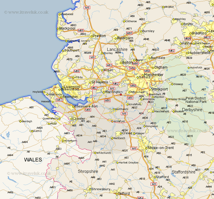
Cheshire Map Showing Location of Lymm
Population: 9435
Area Size (ha): 239
District: Macclesfield
Easting: 371168 Northing: 385653
Latitude: 53.37 Longitude: -2.43
 = Lymm
Area Size (ha): 239
District: Macclesfield
Easting: 371168 Northing: 385653
Latitude: 53.37 Longitude: -2.43
= Lymm
This Lymm map below is supplied by Google. Use the tools in the top left corner to zoom into street level or zoom out for a road map, you may also need to zoom in to see Lymm on the map. Click and drag the map to move around. If the map fails to load try and refresh your browser or zoom in or out (+ or -).
Update - it seems Google no longer allow people to use their maps for free! This Lymm map sometimes loads and sometimes gives a error. I am working on a solution.
Closest 30 Towns or Cities to Lymm (Population over 500)
High Legh 2.16km Mere 3.88km Bowdon 4.42km Stockton Heath 5.66km Partington 5.67km Thelwall 5.83km Altrincham 5.83km Glazebrook 7.73km Risley 7.84km Appleton 7.96km Knutsford 8.64km Mobberley 9.53km Stretton 9.6km Sale 10.44km Croft 10.71km Culcheth 10.78km Plumley Station 11.17km Plumbley 11.17km Warrington 11.21km Lostock Gralam 11.34km Northwick 11.97km Marston 11.97km Northwich 11.97km Sankey 12.3km Great Sankey 12.3km Anderton 12.95km Winwick 13.3km Wilmslow 13.79km Peover 14.11km Peover Superior 14.11km