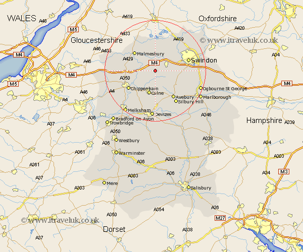
Wiltshire Map Showing Location of Lyneham
Population: 4559
Area Size (ha): 570
District: North Wiltshire
Easting: 402312 Northing: 179803
Latitude: 51.52 Longitude: -1.97
 = Lyneham
Area Size (ha): 570
District: North Wiltshire
Easting: 402312 Northing: 179803
Latitude: 51.52 Longitude: -1.97
= Lyneham
This Lyneham map below is supplied by Google. Use the tools in the top left corner to zoom into street level or zoom out for a road map, you may also need to zoom in to see Lyneham on the map. Click and drag the map to move around. If the map fails to load try and refresh your browser or zoom in or out (+ or -).
Update - it seems Google no longer allow people to use their maps for free! This Lyneham map sometimes loads and sometimes gives a error. I am working on a solution.
Closest 30 Towns or Cities to Lyneham (Population over 500)
Brinkworth 3.88km Wootton Bassett 4.97km Wooton Bassett 4.97km Hilmarton 5.56km Hillmarton 5.56km Christian Malford 6.06km Great Somerford 7.16km Somerford 7.16km Broad Town 7.85km Sutton Benger 8.28km Bremhill 8.73km Lea 8.88km Lydiard Millicent 8.88km Calne 9.55km Broad Hinton 9.95km Purton 10.13km Malmesbury 10.95km Malmsbury 10.95km Cherhill 11.18km Minety 11.18km Stanton St. Quintin 11.53km Stanton Saint Quintin 11.53km Stanton 11.53km Stanton St Quintin 11.53km Wroughton 12.69km Chippenham 12.76km Hullavington 12.82km Ashton Keynes 13.17km Swindon 13.44km Crudwell 14.7km