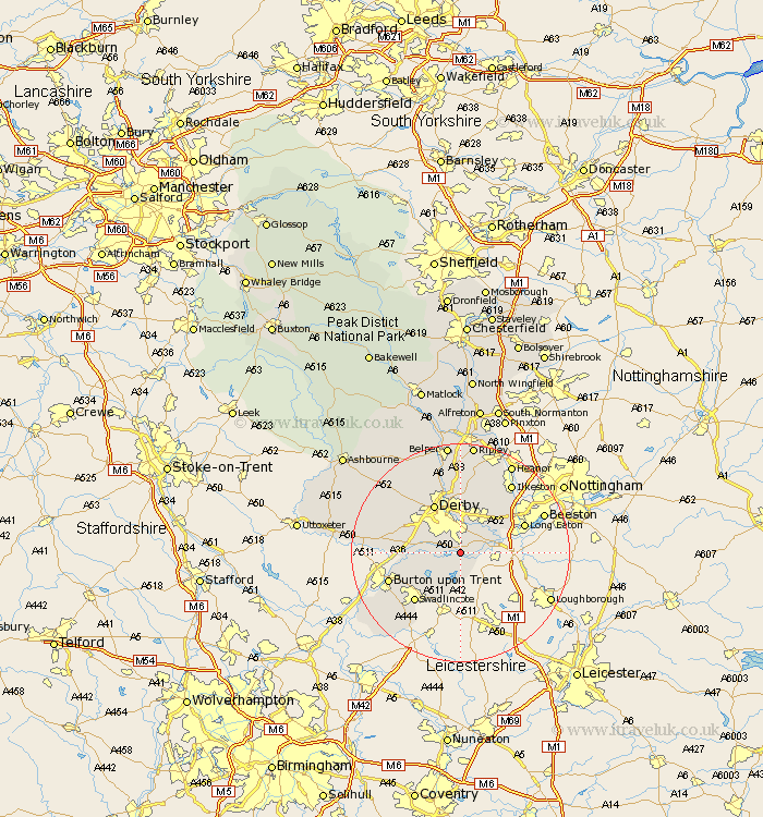
Derbyshire Map Showing Location of Swarkeston
District: South Derbyshire
Easting: 438157 Northing: 328242
Latitude: 52.85 Longitude: -1.43
 = Swarkeston
Easting: 438157 Northing: 328242
Latitude: 52.85 Longitude: -1.43
= Swarkeston
This Swarkeston map below is supplied by Google. Use the tools in the top left corner to zoom into street level or zoom out for a road map, you may also need to zoom in to see Swarkeston on the map. Click and drag the map to move around. If the map fails to load try and refresh your browser or zoom in or out (+ or -).
Update - it seems Google no longer allow people to use their maps for free! This Swarkeston map sometimes loads and sometimes gives a error. I am working on a solution.
Closest 30 Towns or Cities to Swarkeston (Population over 500)
Weston on Trent 2.91km Weston-on-Trent 2.91km Weston upon Trent 2.91km Melbourne 3.7km Shardlow 5.6km Borrowash 6.49km Ticknall 6.5km Findern 6.72km Willington 8.05km Repton 8.05km Sawley 9.14km Breadsall 9.33km Burnaston 9.69km Derby 10.29km Newton Solney 10.74km Risley 10.78km Dale Abbey 10.82km Hartshorne 10.83km Hartshorn 10.83km Little Eaton 11.18km Etwall 11.34km Egginton 11.35km Quarndon 11.98km Swadlincote 12.14km West Hallam 12.44km Woodville 12.45km Long Eaton 12.49km Sandiacre 12.5km Bretby 12.52km Kirk Langley 12.88km