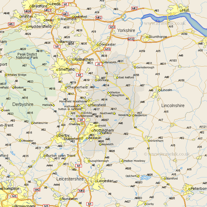
Nottinghamshire Map Showing Location of Stainton
Population: 1217
Easting: 448546 Northing: 513762
Latitude: 54.52 Longitude: -1.25
 = Stainton
Easting: 448546 Northing: 513762
Latitude: 54.52 Longitude: -1.25
= Stainton
This Stainton map below is supplied by Google. Use the tools in the top left corner to zoom into street level or zoom out for a road map, you may also need to zoom in to see Stainton on the map. Click and drag the map to move around. If the map fails to load try and refresh your browser or zoom in or out (+ or -).
Update - it seems Google no longer allow people to use their maps for free! This Stainton map sometimes loads and sometimes gives a error. I am working on a solution.
Closest 30 Towns or Cities to Stainton (Population over 500)
Nunthorpe 5.38km Lowdham 59.7km Misson 120.05km Misterton 121.46km Harworth 122.9km Bircotes 123.01km Styrrup 124.65km Walkeringham 125.31km Mattersey 125.55km Everton 125.71km Gringley-on-the-Hill 126.26km Gringley on the Hill 126.26km Gringley 126.26km Beckingham 127.13km Blyth 128.44km Ramskill 128.78km Ranskill 128.78km Sutton 130.9km Clarborough 131.74km Hayton 131.74km Shireoaks 133.55km East Retford 135.04km Worksop 135.51km North Leverton 136.42km Grove 137.22km Bampton 138.46km Rampton 138.46km Elkesley 140.23km Elksley 140.23km Markham 142.89km