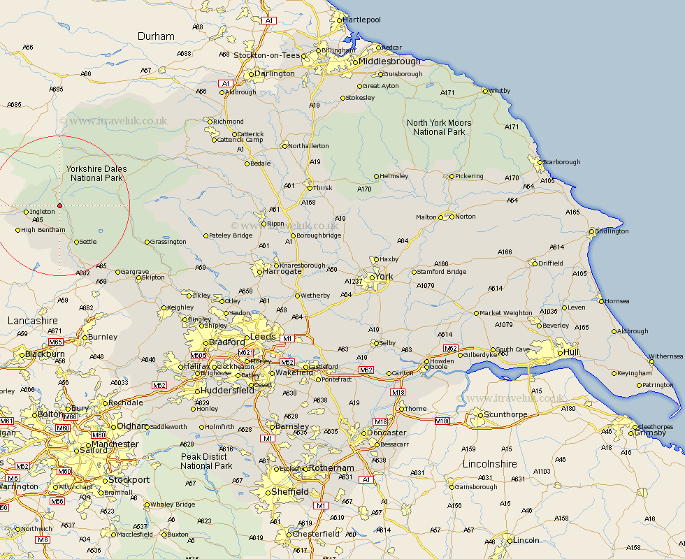
Yorkshire Map Showing Location of Selside
District: Craven
Easting: 378239 Northing: 474614
Latitude: 54.17 Longitude: -2.33
 = Selside
Easting: 378239 Northing: 474614
Latitude: 54.17 Longitude: -2.33
= Selside
This Selside map below is supplied by Google. Use the tools in the top left corner to zoom into street level or zoom out for a road map, you may also need to zoom in to see Selside on the map. Click and drag the map to move around. If the map fails to load try and refresh your browser or zoom in or out (+ or -).
Update - it seems Google no longer allow people to use their maps for free! This Selside map sometimes loads and sometimes gives a error. I am working on a solution.
Closest 30 Towns or Cities to Selside (Population over 500)
Clapham 8.1km Ingleton 8.88km Settle 11.94km High Bentham 13.15km Bentham 13.15km Burton in Lonsdale 13.54km Giggleswick 13.68km Hawes 17.17km Long Preston 19.32km Hellifield 21.77km Threshfield 24.38km Bradley 24.49km Grassington 25.38km Gargrave 25.45km Skipton 30.36km Earby 31.19km Carlton 31.87km Carleton 31.87km Embsay 31.88km Cononley 34.65km Middleham 36km Leyburn 36.71km Glusburn 36.79km Bewerley 38.07km Sutton-in-Craven 38.93km Addingham 39.2km Silsden 39.52km Steeton 40.25km Keighley 41.64km Dacre 42.24km