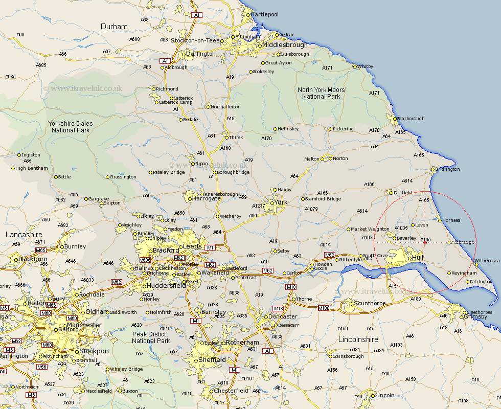
Yorkshire Map Showing Location of Skirlaugh Station
Population: 1543
Easting: 515198 Northing: 437045
Latitude: 53.82 Longitude: -0.25
 = Skirlaugh Station
Easting: 515198 Northing: 437045
Latitude: 53.82 Longitude: -0.25
= Skirlaugh Station
This Skirlaugh Station map below is supplied by Google. Use the tools in the top left corner to zoom into street level or zoom out for a road map, you may also need to zoom in to see Skirlaugh Station on the map. Click and drag the map to move around. If the map fails to load try and refresh your browser or zoom in or out (+ or -).
Update - it seems Google no longer allow people to use their maps for free! This Skirlaugh Station map sometimes loads and sometimes gives a error. I am working on a solution.
Closest 30 Towns or Cities to Skirlaugh Station (Population over 500)
Sproatley 5.74km Sutton 5.74km Sutton-on-Hull 5.74km Sutton on Hull 5.74km Preston 6.46km Wawne 6.82km Leven 8.6km Hull 8.63km Woodmansey 8.75km Aldbrough 8.75km Cottingham 9.51km Hedon 10.26km Tickton 10.37km Hornsea 10.75km Beverley 11.09km Paull 11.17km Burton Pidsea 11.31km Brandsburton 11.59km Brandesburton 11.59km Burstwick 12.03km Thorngumbald 12.39km Thorngumbold 12.39km Kingston upon Hull 12.39km Walkington 13.13km Leconfield 14.25km Leckonfield 14.25km Willerby 14.26km Skidby 14.71km Dunnington 14.82km Roos 15.09km