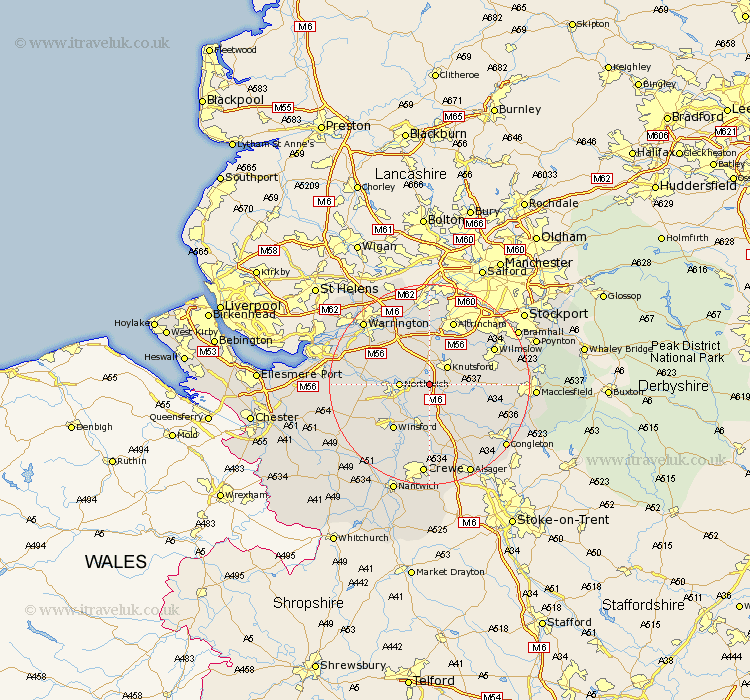
Cheshire Map Showing Location of Plumbley
Population: 649
District: Macclesfield
Easting: 372212 Northing: 374523
Latitude: 53.27 Longitude: -2.42
 = Plumbley
District: Macclesfield
Easting: 372212 Northing: 374523
Latitude: 53.27 Longitude: -2.42
= Plumbley
This Plumbley map below is supplied by Google. Use the tools in the top left corner to zoom into street level or zoom out for a road map, you may also need to zoom in to see Plumbley on the map. Click and drag the map to move around. If the map fails to load try and refresh your browser or zoom in or out (+ or -).
Update - it seems Google no longer allow people to use their maps for free! This Plumbley map sometimes loads and sometimes gives a error. I am working on a solution.
Closest 30 Towns or Cities to Plumbley (Population over 500)
Lostock Gralam 3.32km Peover Superior 4.81km Peover 4.81km Knutsford 4.98km Northwick 5.54km Northwich 5.54km Marston 5.54km Goostrey 6.67km Mere 7.41km Davenham 7.62km Anderton 7.76km Holmes Chapel 8.13km Mobberley 8.67km Middlewick 9.34km Middlewich 9.34km High Legh 9.52km Hartford 9.62km Chelford 9.98km Whitegate 10.47km Lymm 11.17km Weaverham 11.24km Winsford 11.42km Bowdon 11.61km Acton 12.19km Nether Alderley 12.33km Alderley 12.33km Stretton 12.42km Brereton cum Smethwick 12.43km Brereton 12.43km Alderley Edge 12.74km