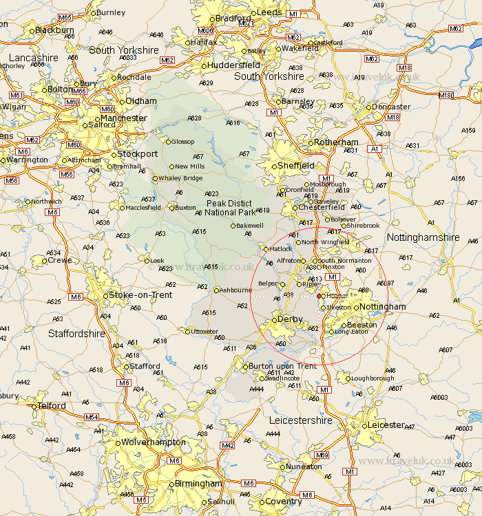
Derbyshire Map Showing Location of Shipley Gate Station
Population: 860
District: Amber Valley
Easting: 445853 Northing: 344994
Latitude: 53 Longitude: -1.32
 = Shipley Gate Station
District: Amber Valley
Easting: 445853 Northing: 344994
Latitude: 53 Longitude: -1.32
= Shipley Gate Station
This Shipley Gate Station map below is supplied by Google. Use the tools in the top left corner to zoom into street level or zoom out for a road map, you may also need to zoom in to see Shipley Gate Station on the map. Click and drag the map to move around. If the map fails to load try and refresh your browser or zoom in or out (+ or -).
Update - it seems Google no longer allow people to use their maps for free! This Shipley Gate Station map sometimes loads and sometimes gives a error. I am working on a solution.
Closest 30 Towns or Cities to Shipley Gate Station (Population over 500)
Heanor 1.12km Ilkeston 3.87km Smalley 4.83km Codnor 4.99km Denby 5.88km West Hallam 5.99km Ripley 6.69km Dale Abbey 7.75km Kilburn 7.81km Kilbourne 7.81km Kilbourn 7.81km Risley 9.26km Pinxton 9.26km Swanwick 9.28km Sandiacre 9.53km Heage 9.66km Holbrook 10.04km Little Eaton 10.52km Belper 10.7km South Normanton 11.18km Breadsall 11.61km Long Eaton 11.61km Duffield 11.75km Alfreton 11.98km Borrowash 11.98km South Wingfield 12.11km Wingfield 12.11km Ambergate Junction Station 12.46km Ambergate 12.46km Blackwell 13.02km