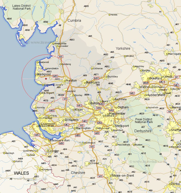
Lancashire Map Showing Location of Plumpton
Population: 1107
District: Fylde
Easting: 338510 Northing: 432314
Latitude: 53.78 Longitude: -2.93
 = Plumpton
District: Fylde
Easting: 338510 Northing: 432314
Latitude: 53.78 Longitude: -2.93
= Plumpton
This Plumpton map below is supplied by Google. Use the tools in the top left corner to zoom into street level or zoom out for a road map, you may also need to zoom in to see Plumpton on the map. Click and drag the map to move around. If the map fails to load try and refresh your browser or zoom in or out (+ or -).
Update - it seems Google no longer allow people to use their maps for free! This Plumpton map sometimes loads and sometimes gives a error. I am working on a solution.
Closest 30 Towns or Cities to Plumpton (Population over 500)
Warton 3.77km Kirkham 4.38km Great Singleton 5.56km Singleton 5.56km Freckleton 5.74km Lytham St Anne's 5.98km Lytham St. Anne's 5.98km Lytham 5.98km Lytham Saint Anne's 5.98km Poulton le Fylde 6.46km Poulton 6.46km Elswick 6.46km Blackpool 8.51km Inskip 8.6km Eccleston 8.61km Great Eccleston 8.61km Lea Town 8.95km Lea 8.95km Hambleton 9.27km Thornton 10.77km Banks 11.17km Longton 11.48km Cleveleys 12.03km Woodplumpton 12.18km Hutton 12.29km Much Hoole 12.75km Hoole 12.75km Barton 13.65km Broughton 13.65km Penwortham 13.66km