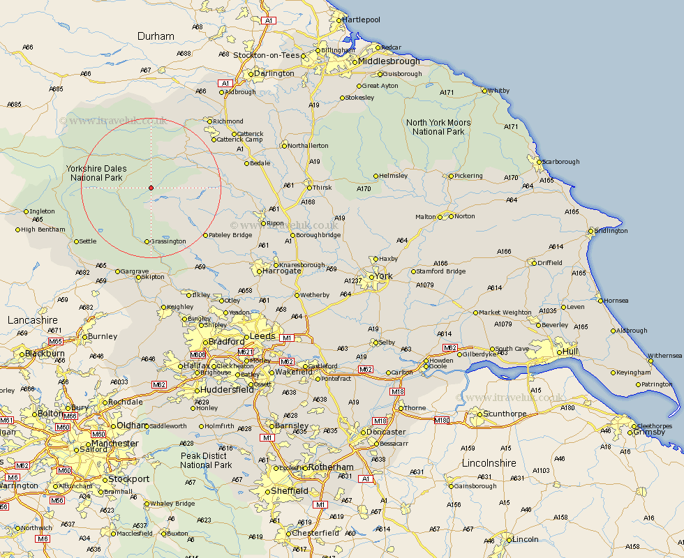
Yorkshire Map Showing Location of Bradley
Population: 1160
District: Richmondshire
Easting: 402173 Northing: 480126
Latitude: 54.22 Longitude: -1.97
 = Bradley
District: Richmondshire
Easting: 402173 Northing: 480126
Latitude: 54.22 Longitude: -1.97
= Bradley
This Bradley map below is supplied by Google. Use the tools in the top left corner to zoom into street level or zoom out for a road map, you may also need to zoom in to see Bradley on the map. Click and drag the map to move around. If the map fails to load try and refresh your browser or zoom in or out (+ or -).
Update - it seems Google no longer allow people to use their maps for free! This Bradley map sometimes loads and sometimes gives a error. I am working on a solution.
Closest 30 Towns or Cities to Bradley (Population over 500)
Middleham 12.24km Leyburn 13.44km Grassington 16.72km Hawes 17.76km Threshfield 18.82km Bewerley 19.74km Masham 20.59km Grewelthorpe 20.93km Kirkby Malzeard 21.34km Crakehall 24.55km Dacre 24.68km Richmond 25.39km Settle 25.69km Bedale 25.98km Tanfield 26.08km West Tanfield 26.08km Darley 26.79km Giggleswick 26.94km Catterick 27.31km Gargrave 27.37km Embsay 27.82km Skipton 27.99km Gilling 29.03km Clapham 30.07km Scorton 30.15km Long Preston 30.36km Birstwith 30.59km Hellifield 30.65km Ripon 31.33km Carlton 31.98km