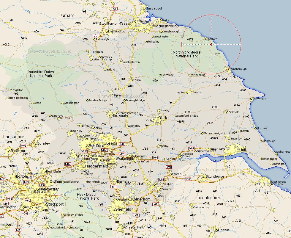
Yorkshire Map Showing Location of Stainsacre
District: Scarborough
Easting: 491845 Northing: 507006
Latitude: 54.45 Longitude: -0.58
 = Stainsacre
Easting: 491845 Northing: 507006
Latitude: 54.45 Longitude: -0.58
= Stainsacre
This Stainsacre map below is supplied by Google. Use the tools in the top left corner to zoom into street level or zoom out for a road map, you may also need to zoom in to see Stainsacre on the map. Click and drag the map to move around. If the map fails to load try and refresh your browser or zoom in or out (+ or -).
Update - it seems Google no longer allow people to use their maps for free! This Stainsacre map sometimes loads and sometimes gives a error. I am working on a solution.
Closest 30 Towns or Cities to Stainsacre (Population over 500)
Hawsker 1.08km Fylingdales 4.92km Whitby 5.1km Sleights 5.39km Hinderwell 15.03km Cloughton 16.21km Burniston 17.72km Scalby 20.93km Scarborough 21.16km Loftus 22.34km Pickering 25.21km Thornton Dale 25.6km Thornton-le-Dale 25.6km Snainton 25.94km Seamer 25.98km Brompton 26.03km Brotton 26.06km Eastfield 26.86km Yedingham 27.88km Cayton 27.89km Skelton 28.12km Skelton-in-Cleveland 28.12km Saltburn 29.77km Saltburn by the Sea 29.77km Saltburn-by-the-Sea 29.77km Kirby Moorside 30.49km Kirkby Moorside 30.49km Willerby 30.89km Guisborough 31.53km Sherburn 31.8km