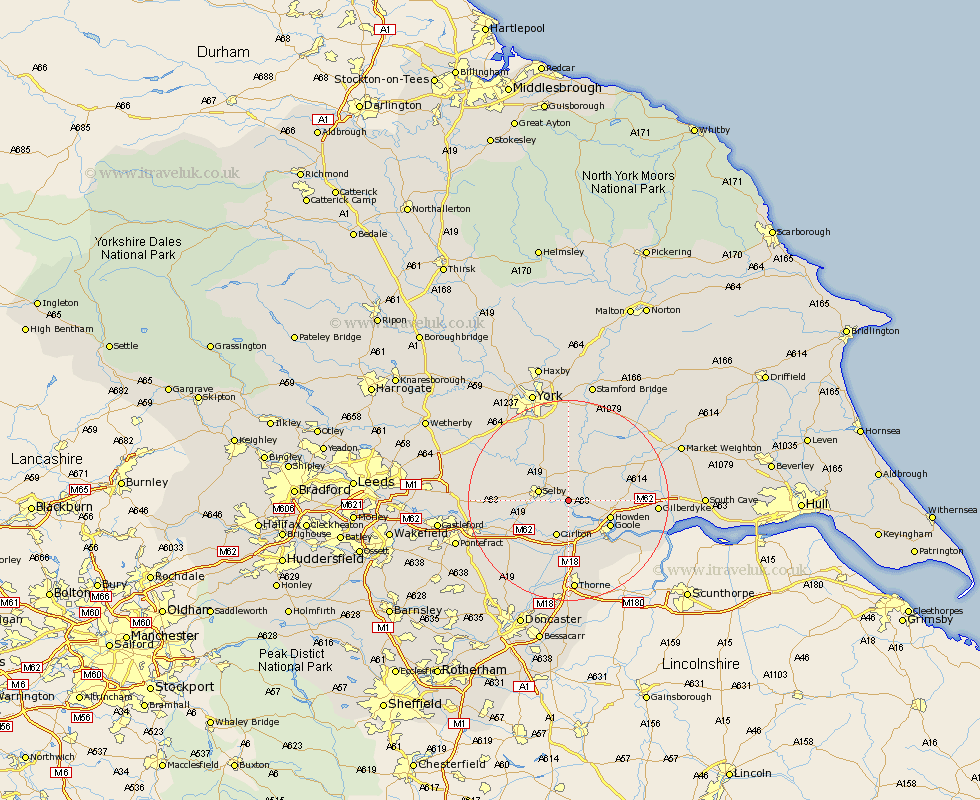
Yorkshire Map Showing Location of Cliff Common Station
Population: 1143
District: Selby
Easting: 467006 Northing: 430542
Latitude: 53.77 Longitude: -0.98
 = Cliff Common Station
District: Selby
Easting: 467006 Northing: 430542
Latitude: 53.77 Longitude: -0.98
= Cliff Common Station
This Cliff Common Station map below is supplied by Google. Use the tools in the top left corner to zoom into street level or zoom out for a road map, you may also need to zoom in to see Cliff Common Station on the map. Click and drag the map to move around. If the map fails to load try and refresh your browser or zoom in or out (+ or -).
Update - it seems Google no longer allow people to use their maps for free! This Cliff Common Station map sometimes loads and sometimes gives a error. I am working on a solution.
Closest 30 Towns or Cities to Cliff Common Station (Population over 500)
Barlow 2.87km Selby 5.78km Brayton 6.57km Bubwith 7.08km Carlton 7.73km Airmyn 7.81km Howden 8.52km Riccall 8.6km Wistow 9.47km Goole 9.47km Rawcliffe 9.53km Snaith 9.84km Hook 10.38km Hensall 10.67km Cawood 11.47km Hambleton 12.05km Pollington 12.4km Wheldrake 13.01km Eastrington 13.28km Swinefleet 13.54km Escrick 13.68km Seaton Ross 14.34km Whitley 14.36km Melbourne 15.64km Holme 16.04km Holme upon Spalding Moor 16.04km Church Fenton 16.3km Monk Fryston 16.54km Acaster Malbis 16.68km Sutton 17.24km