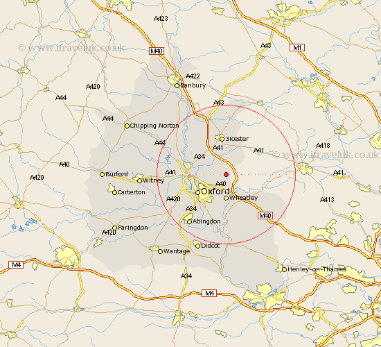
Oxfordshire Map Showing Location of Studley
Population: 454
District: Cherwell
Easting: 459755 Northing: 211666
Latitude: 51.8 Longitude: -1.13
 = Studley
District: Cherwell
Easting: 459755 Northing: 211666
Latitude: 51.8 Longitude: -1.13
= Studley
This Studley map below is supplied by Google. Use the tools in the top left corner to zoom into street level or zoom out for a road map, you may also need to zoom in to see Studley on the map. Click and drag the map to move around. If the map fails to load try and refresh your browser or zoom in or out (+ or -).
Update - it seems Google no longer allow people to use their maps for free! This Studley map sometimes loads and sometimes gives a error. I am working on a solution.
Closest 30 Towns or Cities to Studley (Population over 500)
Beckley 3.91km Ambrosden 5.68km Islip 7.12km Wheatley 7.42km Tiddington 8.72km Cuddesdon 9.26km Launton 9.33km Oxford 9.76km Chesterton 9.88km Milton 9.88km Great Milton 9.88km Kidlington 10.48km Bletchingdon 10.72km Littlemore 10.89km Bicester 11.18km Garsington 11.18km Yarnton 11.46km Thame 11.72km Kirtlington 11.79km Great Haseley 12.03km North Hinksey 12.71km Woodstock 13.77km Tetsworth 14.42km Tackley 14.62km Radley 14.69km Stadhampton 14.82km Caversfield 15km Bladon 15.01km Cassington 15.02km Ardley 15.89km