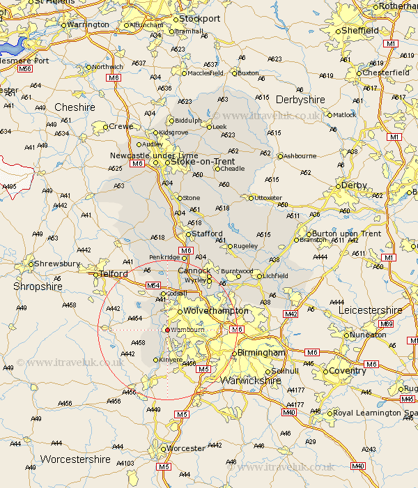
Staffordshire Map Showing Location of Wombourne
Population: 12007
Area Size (ha): 362
District: South Staffordshire
Easting: 387565 Northing: 292882
Latitude: 52.53 Longitude: -2.18
 = Wombourne
Area Size (ha): 362
District: South Staffordshire
Easting: 387565 Northing: 292882
Latitude: 52.53 Longitude: -2.18
= Wombourne
This Wombourne map below is supplied by Google. Use the tools in the top left corner to zoom into street level or zoom out for a road map, you may also need to zoom in to see Wombourne on the map. Click and drag the map to move around. If the map fails to load try and refresh your browser or zoom in or out (+ or -).
Update - it seems Google no longer allow people to use their maps for free! This Wombourne map sometimes loads and sometimes gives a error. I am working on a solution.
Closest 30 Towns or Cities to Wombourne (Population over 500)
Himley 2.91km Lower Penn 3.88km Seisdon 5.84km Scisdon 5.84km Wolverhampton 6.51km Bobbington 7.01km Dudley 7.71km Pattingham 7.91km Bilston 8.72km Kinvere 9.86km Codsall 11.18km West Bromwich 12.54km Smethwick 12.95km Walsall 14.44km Wallsall 14.44km Shareshill 16.3km Brewood 16.72km Rushall 17.43km Pelsall 18.29km Wyrley 18.86km Great Wyrley 18.86km Aldridge 19.49km Weston under Lizard 19.73km Weston 19.73km Weston-under-Lizard 19.73km Cannock 20.12km Brownhills 20.22km Wheaton Aston 20.52km Huntington 21.12km Blymhill 21.48km