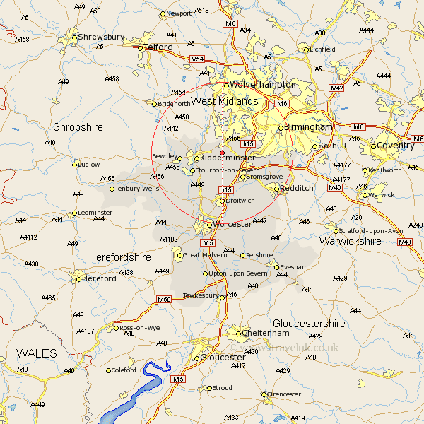
Worcestershire Map Showing Location of Broom
Population: 338
District: Wyre Forest
Easting: 389795 Northing: 278051
Latitude: 52.4 Longitude: -2.15
 = Broom
District: Wyre Forest
Easting: 389795 Northing: 278051
Latitude: 52.4 Longitude: -2.15
= Broom
This Broom map below is supplied by Google. Use the tools in the top left corner to zoom into street level or zoom out for a road map, you may also need to zoom in to see Broom on the map. Click and drag the map to move around. If the map fails to load try and refresh your browser or zoom in or out (+ or -).
Update - it seems Google no longer allow people to use their maps for free! This Broom map sometimes loads and sometimes gives a error. I am working on a solution.
Closest 30 Towns or Cities to Broom (Population over 500)
Belbroughton 2.26km Clent 2.93km Churchill 2.93km Hagley 4.34km Stone 5.02km Chaddesley Corbett 5.67km Dodford 6.51km Great Dodford 6.51km Romsley 7.03km Kidderminster 7.04km Stourbridge 7.5km Lickey 7.73km Lickey End 7.73km Halesowen 8.77km Bromsgrove 9.33km Hartlebury 9.33km Stourport 9.68km Stourport on Severn 9.68km Stourport-on-Severn 9.68km Netherton 10.31km Bewdley 11.46km Coston Hackett 11.9km Cofton Hackett 11.9km Stoke Prior 12.48km Barnt Green 12.61km Upper Arley 14.06km Arley 14.06km Oldbury 14.33km Droitwich 14.82km Alvechurch 15.47km