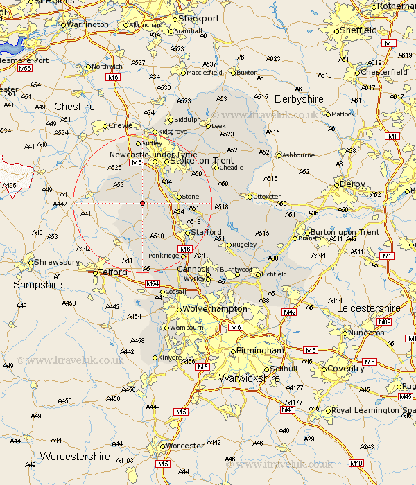
Staffordshire Map Showing Location of Sugnall
District: Stafford
Easting: 380936 Northing: 331833
Latitude: 52.88 Longitude: -2.28
 = Sugnall
Easting: 380936 Northing: 331833
Latitude: 52.88 Longitude: -2.28
= Sugnall
This Sugnall map below is supplied by Google. Use the tools in the top left corner to zoom into street level or zoom out for a road map, you may also need to zoom in to see Sugnall on the map. Click and drag the map to move around. If the map fails to load try and refresh your browser or zoom in or out (+ or -).
Update - it seems Google no longer allow people to use their maps for free! This Sugnall map sometimes loads and sometimes gives a error. I am working on a solution.
Closest 30 Towns or Cities to Sugnall (Population over 500)
Standon 3.71km Eccleshall 4.33km Swynnerton 5.81km Swinnerton 5.81km High Offley 6.49km Adbaston 7.13km Whitmore 9.27km Seighford 10km Stone 10.23km Barlaston 10.78km Gnosall 11.34km Gnossall 11.34km Haughton 12.45km Keele 12.98km Newcastle-under-Lyme 13.4km Newcastle under Lyme 13.4km Madeley 13.4km Hopton 13.51km Hilderstone 13.92km Stoke-on-Trent 14.6km Stoke-upon-Trent 14.6km Stoke on Trent 14.6km Stoke upon Trent 14.6km Stoke 14.6km Silverdale 14.83km Church Eaton 15.2km Stafford 15.41km Fulford 16.31km Betley 17.59km Caverswall 18.29km