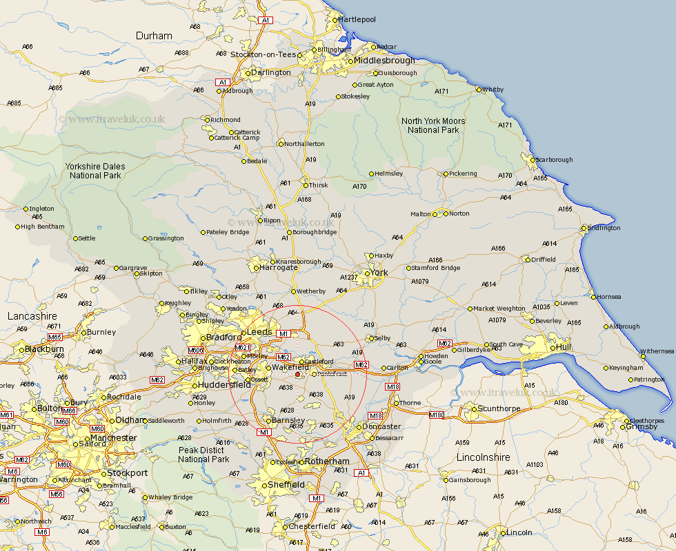
Yorkshire Map Showing Location of Purston Jaglin
District: Wakefield
Easting: 441824 Northing: 420971
Latitude: 53.68 Longitude: -1.37
 = Purston Jaglin
Easting: 441824 Northing: 420971
Latitude: 53.68 Longitude: -1.37
= Purston Jaglin
This Purston Jaglin map below is supplied by Google. Use the tools in the top left corner to zoom into street level or zoom out for a road map, you may also need to zoom in to see Purston Jaglin on the map. Click and drag the map to move around. If the map fails to load try and refresh your browser or zoom in or out (+ or -).
Update - it seems Google no longer allow people to use their maps for free! This Purston Jaglin map sometimes loads and sometimes gives a error. I am working on a solution.
Closest 30 Towns or Cities to Purston Jaglin (Population over 500)
Featherstone 1.86km Normanton 3.78km Castleford 3.87km High Ackworth 4.31km Ackworth 4.31km Ackworth Moor Top 4.31km Pontefract 4.39km Crofton 4.96km Fitzwilliam 5.67km Brotherton 7.56km Wakefield 7.9km Stanley 7.9km Darrington 7.9km Ryhill 8.61km Badsworth 8.61km Knottingly 8.97km Knottingley 8.97km Upton 9.22km Kippax 9.27km Hemsworth 9.33km Swillington 9.84km Lofthouse 10.39km Rothwell 10.67km North Elmsall 10.68km Royston 10.77km Garforth 11.17km Monk Fryston 11.49km Shafton 11.6km Moorthorpe 11.96km South Milford 12.04km