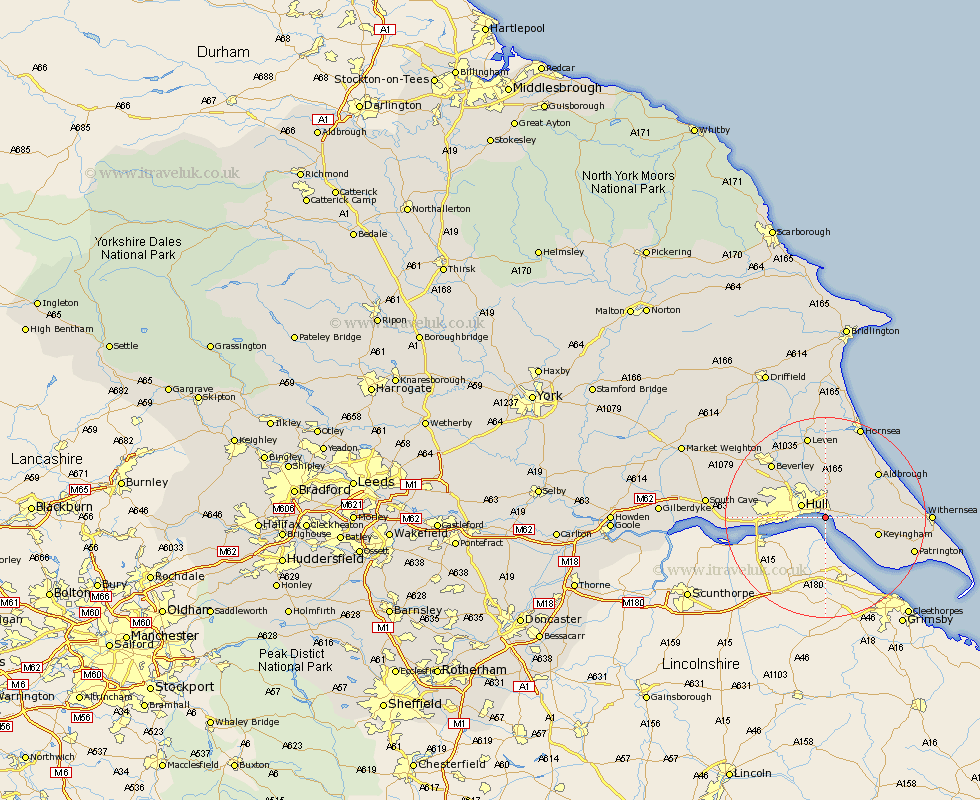
Yorkshire Map Showing Location of Marfleet
Easting: 514327 Northing: 427742
Latitude: 53.73 Longitude: -0.27
 = Marfleet
Latitude: 53.73 Longitude: -0.27
= Marfleet
This Marfleet map below is supplied by Google. Use the tools in the top left corner to zoom into street level or zoom out for a road map, you may also need to zoom in to see Marfleet on the map. Click and drag the map to move around. If the map fails to load try and refresh your browser or zoom in or out (+ or -).
Update - it seems Google no longer allow people to use their maps for free! This Marfleet map sometimes loads and sometimes gives a error. I am working on a solution.
Closest 30 Towns or Cities to Marfleet (Population over 500)
Paull 2.87km Kingston upon Hull 4.76km Hull 5.1km Hedon 5.48km Preston 5.75km Sutton-on-Hull 6.46km Sutton 6.46km Sutton on Hull 6.46km Thorngumbold 6.83km Thorngumbald 6.83km Sproatley 7.81km Burstwick 8.77km Wawne 9.22km Skirlaugh Station 9.34km Cottingham 9.47km Keyingham 10.54km Anlaby 10.96km Hessle 11.12km Burton Pidsea 11.57km Woodmansey 12.03km Kirk Ella 12.2km Barton upon Humber 12.3km Barton 12.3km Willerby 12.61km Ottringham 12.62km Aldbrough 13.53km Swanland 14.25km Skidby 14.27km Roos 14.37km Beverley 14.86km