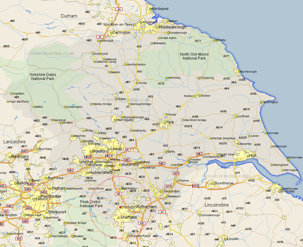
Yorkshire Map Showing Location of Grenoside
District: Sheffield
Easting: 434322 Northing: 393099
Latitude: 53.43 Longitude: -1.48
 = Grenoside
Easting: 434322 Northing: 393099
Latitude: 53.43 Longitude: -1.48
= Grenoside
This Grenoside map below is supplied by Google. Use the tools in the top left corner to zoom into street level or zoom out for a road map, you may also need to zoom in to see Grenoside on the map. Click and drag the map to move around. If the map fails to load try and refresh your browser or zoom in or out (+ or -).
Update - it seems Google no longer allow people to use their maps for free! This Grenoside map sometimes loads and sometimes gives a error. I am working on a solution.
Closest 30 Towns or Cities to Grenoside (Population over 500)
Ecclesfield 1.1km Oughtibridge 4.42km Wharncliffe Side 4.42km Wharncliffe 4.42km Tankersley 5.67km Wentworth 5.77km Wortley 6.47km Birdwell 7.42km Sheffield 7.49km Hoyland 7.74km Hoyland Nether 7.74km Bradfield 7.95km Rotherham 8.83km Rotherdam 8.83km Worsborough 9.27km Worsbrough 9.27km Stocksbridge 9.52km Orgreave 9.52km Rawmarsh 10.11km Treeton 10.44km Whiston 10.61km Wombwell 10.79km Wath-on-Dearne 11.53km Wath 11.53km Wath on Dearne 11.53km Wath upon Dearne 11.53km Dodworth 11.6km Thrybergh 12.28km Swinton 12.36km Silkstone 12.41km