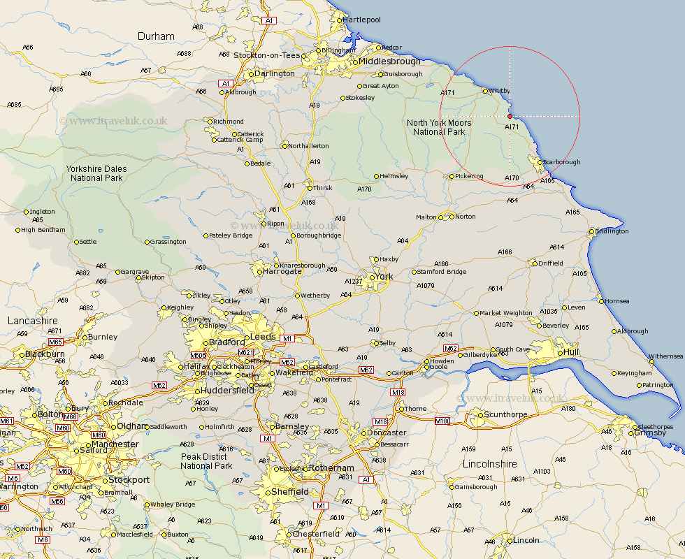
Yorkshire Map Showing Location of Fyling Thorpe
District: Scarborough
Easting: 495164 Northing: 503368
Latitude: 54.42 Longitude: -0.53
 = Fyling Thorpe
Easting: 495164 Northing: 503368
Latitude: 54.42 Longitude: -0.53
= Fyling Thorpe
This Fyling Thorpe map below is supplied by Google. Use the tools in the top left corner to zoom into street level or zoom out for a road map, you may also need to zoom in to see Fyling Thorpe on the map. Click and drag the map to move around. If the map fails to load try and refresh your browser or zoom in or out (+ or -).
Update - it seems Google no longer allow people to use their maps for free! This Fyling Thorpe map sometimes loads and sometimes gives a error. I am working on a solution.
Closest 30 Towns or Cities to Fyling Thorpe (Population over 500)
Hawsker 4.28km Sleights 9.38km Whitby 10km Cloughton 11.31km Burniston 12.87km Scalby 16.19km Scarborough 16.34km Hinderwell 19.88km Seamer 21.4km Eastfield 22.15km Brompton 22.27km Snainton 22.47km Cayton 23.08km Thornton Dale 23.61km Thornton-le-Dale 23.61km Pickering 23.93km Yedingham 24.7km Willerby 26.51km Loftus 27.03km Sherburn 27.82km Filey 27.91km Brotton 30.75km Kirkby Moorside 30.83km Kirby Moorside 30.83km Hunmanby 31.15km Rillington 31.57km Skelton 32.63km Skelton-in-Cleveland 32.63km Saltburn-by-the-Sea 34.46km Saltburn 34.46km