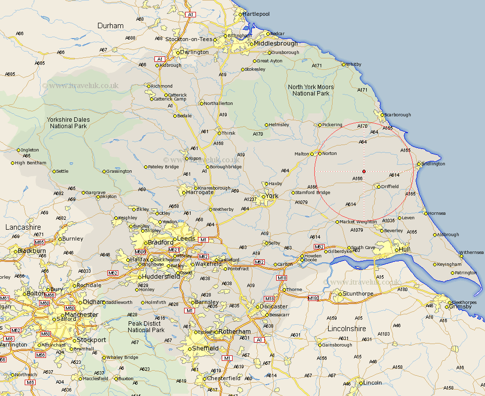
Yorkshire Map Showing Location of Cowlam
Easting: 497063 Northing: 464455
Latitude: 54.07 Longitude: -0.52
 = Cowlam
Latitude: 54.07 Longitude: -0.52
= Cowlam
This Cowlam map below is supplied by Google. Use the tools in the top left corner to zoom into street level or zoom out for a road map, you may also need to zoom in to see Cowlam on the map. Click and drag the map to move around. If the map fails to load try and refresh your browser or zoom in or out (+ or -).
Update - it seems Google no longer allow people to use their maps for free! This Cowlam map sometimes loads and sometimes gives a error. I am working on a solution.
Closest 30 Towns or Cities to Cowlam (Population over 500)
Great Driffield 6.58km Wetwang 8.1km Driffield 8.61km Kilham 9.97km Nafferton 10.33km Sherburn 11.12km North Frodingham 11.33km Willerby 13.67km Cranswick 14.07km Rillington 15.12km Yedingham 16.19km Brompton 16.82km Hunmanby 17.13km Snainton 17.23km Norton 18.06km Lockington 18.66km Seamer 19.3km Beeford 19.76km Eastfield 20.03km Bridlington 20.38km Malton 20.51km Cayton 20.94km Pocklington 21.28km Dunnington 21.73km Filey 21.76km Brandesburton 21.88km Brandsburton 21.88km Cherry Burton 22.27km Skipsea 22.53km Thornton Dale 22.65km