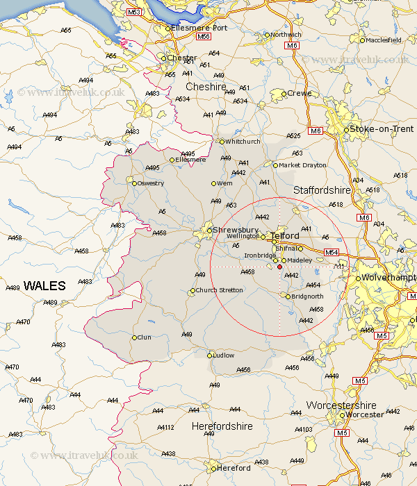
Shropshire Map Showing Location of Coalport
District: Bridgnorth
Easting: 369536 Northing: 302237
Latitude: 52.62 Longitude: -2.45
 = Coalport
Easting: 369536 Northing: 302237
Latitude: 52.62 Longitude: -2.45
= Coalport
This Coalport map below is supplied by Google. Use the tools in the top left corner to zoom into street level or zoom out for a road map, you may also need to zoom in to see Coalport on the map. Click and drag the map to move around. If the map fails to load try and refresh your browser or zoom in or out (+ or -).
Update - it seems Google no longer allow people to use their maps for free! This Coalport map sometimes loads and sometimes gives a error. I am working on a solution.
Closest 30 Towns or Cities to Coalport (Population over 500)
Madeley 2.16km Ironbridge 2.16km Barrow Bridge 2.17km Barrow 2.17km Broseley 2.25km Dawley 5.67km Much Wenlock 7km Shifnal 7.91km Telford 7.91km Worfield 9.31km Oakengates 9.33km Ketley 9.53km Hadley 9.53km Bridgnorth 9.54km Wellington 10.3km Donnington 11.18km Trench 11.18km Downington 11.18km Cressage 11.4km Wrockwardine 12.15km Albrighton 12.51km Lilleshall 13.4km Claverley 13.74km Woodcote 15.16km Ditton Priors 15.19km Edgmond 16.83km Cherrington 17.02km Rodington 17.16km Berrington 17.27km Ercall Magna 17.94km