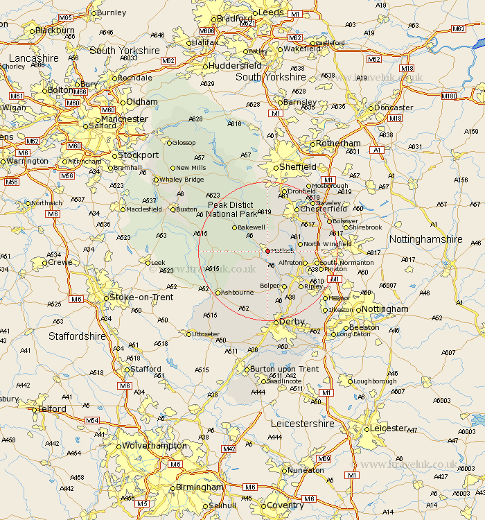
Derbyshire Map Showing Location of Matlock
Population: 14717
Area Size (ha): 425
District: Derbyshire Dales
Easting: 431218 Northing: 359705
Latitude: 53.13 Longitude: -1.53
 = Matlock
Area Size (ha): 425
District: Derbyshire Dales
Easting: 431218 Northing: 359705
Latitude: 53.13 Longitude: -1.53
= Matlock
This Matlock map below is supplied by Google. Use the tools in the top left corner to zoom into street level or zoom out for a road map, you may also need to zoom in to see Matlock on the map. Click and drag the map to move around. If the map fails to load try and refresh your browser or zoom in or out (+ or -).
Update - it seems Google no longer allow people to use their maps for free! This Matlock map sometimes loads and sometimes gives a error. I am working on a solution.
Closest 30 Towns or Cities to Matlock (Population over 500)
Tansley 1.11km Matlock Bath 2.96km Bonsall 3.81km Cromford 4.32km Ashover 4.99km Darley Dale 5.79km Wirksworth 5.99km Crich 6.48km Stretton 7.78km Winster 7.78km Clay Cross 8km Wingfield 8.69km South Wingfield 8.69km North Wingfield 9.05km Shirland 9.09km Brassington 9.57km Ambergate Junction Station 9.85km Ambergate 9.85km Wingerworth 9.97km Morton 10.01km Walton 10.28km Alfreton 10.67km Pilsley 11.27km Old Brampton 11.34km Brampton 11.34km Bakewell 11.58km Swanwick 11.58km Youlgreave 11.72km Belper 11.98km Baslow 12.43km