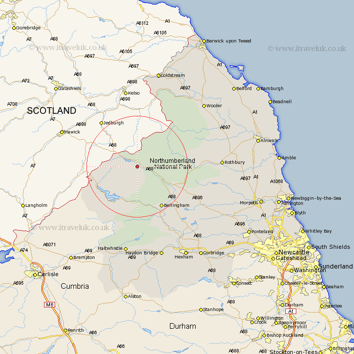
Northumberland Map Showing Location of Byrness
District: Tynedale
Easting: 376722 Northing: 600720
Latitude: 55.3 Longitude: -2.37
 = Byrness
Easting: 376722 Northing: 600720
Latitude: 55.3 Longitude: -2.37
= Byrness
This Byrness map below is supplied by Google. Use the tools in the top left corner to zoom into street level or zoom out for a road map, you may also need to zoom in to see Byrness on the map. Click and drag the map to move around. If the map fails to load try and refresh your browser or zoom in or out (+ or -).
Update - it seems Google no longer allow people to use their maps for free! This Byrness map sometimes loads and sometimes gives a error. I am working on a solution.
Closest 30 Towns or Cities to Byrness (Population over 500)
Otterburn 15.7km Bellingham 18.7km Wark 27.63km Rothbury 29.59km Humshaugh 33.15km Challerton 34.15km Chollerton 34.15km Wooler 34.77km Newbrough 35.33km Haltwhistle 35.47km Longframlington 36.98km Haydon Bridge 38.02km Warden 38.21km Longhorsley 38.73km Acomb 39.08km Swarland 40.09km Sandhoe 40.56km Hexham 40.75km Felton 42.25km Corbridge 43.23km East Thirston 43.3km Thirston 43.3km Stamfordham 43.45km Almwick 43.59km Alnwick 43.59km Shilbottle 43.85km Lowick 44.83km Hebron 45.22km Morpeth 45.79km Belford 47.37km