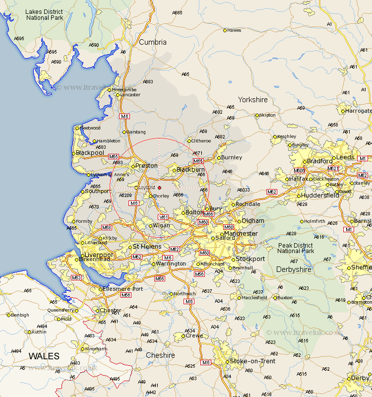
Lancashire Map Showing Location of Brinscall
Population: 2422
Area Size (ha): 54
District: Chorley
Easting: 362577 Northing: 420934
Latitude: 53.68 Longitude: -2.57
 = Brinscall
Area Size (ha): 54
District: Chorley
Easting: 362577 Northing: 420934
Latitude: 53.68 Longitude: -2.57
= Brinscall
This Brinscall map below is supplied by Google. Use the tools in the top left corner to zoom into street level or zoom out for a road map, you may also need to zoom in to see Brinscall on the map. Click and drag the map to move around. If the map fails to load try and refresh your browser or zoom in or out (+ or -).
Update - it seems Google no longer allow people to use their maps for free! This Brinscall map sometimes loads and sometimes gives a error. I am working on a solution.
Closest 30 Towns or Cities to Brinscall (Population over 500)
Brinscall 0km Withnell 2.16km Heapey 3.78km Hoghton 3.87km Chorley 4.96km Darwen 6.84km Euxton 7.56km Leyland 8.78km Coppull 9.22km Blackburn 9.22km Haigh 9.33km Horwich 9.33km Adlington 9.52km Mellor 9.53km Farrington 9.53km Farington 9.53km Samlesbury 9.84km Blackrod 11.17km Eccleston 11.34km Penrith 11.59km Oswaldtwistle 12.3km Turton 12.31km Rishton 12.35km Wilpshire 12.4km Standish 12.93km Ribchester 13.16km Penwortham 13.24km Preston 13.54km Croston 13.69km Grimsargh 13.7km