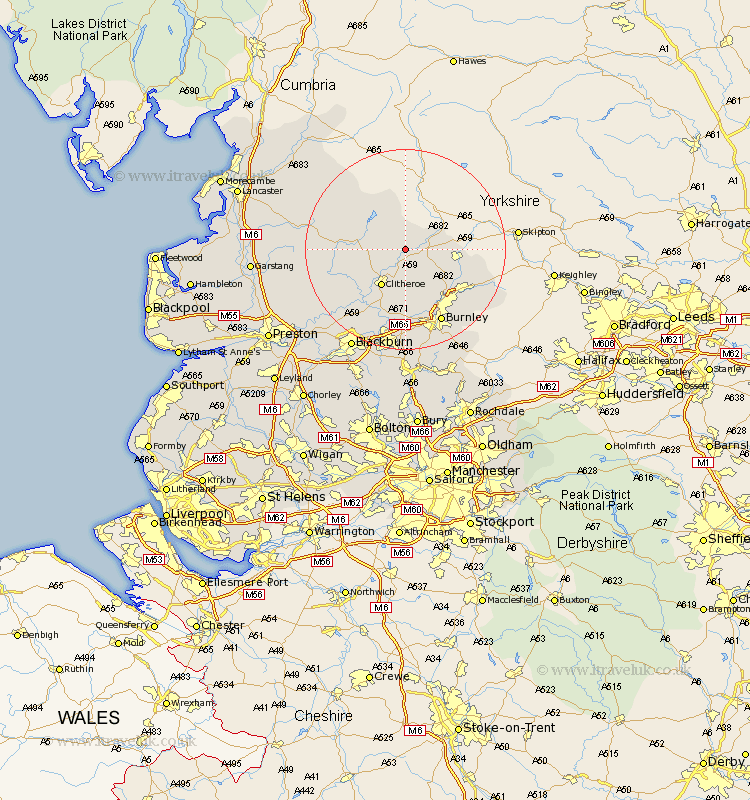
Lancashire Map Showing Location of Bolton By Bowland
District: Ribble Valley
Easting: 378117 Northing: 448648
Latitude: 53.93 Longitude: -2.33
 = Bolton By Bowland
Easting: 378117 Northing: 448648
Latitude: 53.93 Longitude: -2.33
= Bolton By Bowland
This Bolton By Bowland map below is supplied by Google. Use the tools in the top left corner to zoom into street level or zoom out for a road map, you may also need to zoom in to see Bolton By Bowland on the map. Click and drag the map to move around. If the map fails to load try and refresh your browser or zoom in or out (+ or -).
Update - it seems Google no longer allow people to use their maps for free! This Bolton By Bowland map sometimes loads and sometimes gives a error. I am working on a solution.
Closest 30 Towns or Cities to Bolton By Bowland (Population over 500)
Grindleton 4.3km Gisburn 4.36km Chatburn 5.67km Waddington 7.79km Clitheroe 8.6km Barnoldswick 9.99km Salterforth 11.53km Barrowford 12.01km Sabden 12.96km Foulridge 13.19km Kelbrook 13.23km Whalley 14.07km Nelson 14.14km Colne 14.32km Brierfield 14.53km Burnley 16.21km Altham 16.68km Langho 16.68km Hapton 16.71km Padiham 16.71km Simonstone 16.72km Laneshaw Bridge 16.95km Chipping 17.29km Great Harwood 17.55km Accrington 18.56km Clayton-le-Moors 18.81km Clayton le Moor 18.81km Clayton le Moors 18.81km Wilpshire 19.36km Ribchester 19.79km