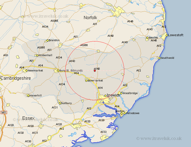
Suffolk Map Showing Location of Mendlesham
Population: 1328
District: Mid Suffolk
Easting: 609308 Northing: 265788
Latitude: 52.25 Longitude: 1.07
 = Mendlesham
District: Mid Suffolk
Easting: 609308 Northing: 265788
Latitude: 52.25 Longitude: 1.07
= Mendlesham
This Mendlesham map below is supplied by Google. Use the tools in the top left corner to zoom into street level or zoom out for a road map, you may also need to zoom in to see Mendlesham on the map. Click and drag the map to move around. If the map fails to load try and refresh your browser or zoom in or out (+ or -).
Update - it seems Google no longer allow people to use their maps for free! This Mendlesham map sometimes loads and sometimes gives a error. I am working on a solution.
Closest 30 Towns or Cities to Mendlesham (Population over 500)
Bacton 3.88km Old Newton 5.03km Gislingham 5.67km Thorndon 5.86km Haughley 6.78km Debenham 8.76km Eye 9.34km Stowmarket 9.34km Botesdale 9.87km Elmswell 10.38km Badwell Ash 10.86km Wortham 11.18km Woolpit 11.94km Worlingworth 12.62km Great Finborough 12.97km Finborough 12.97km Coddenham 13.42km Stanton 13.55km Norton 13.62km Redgrave 13.75km Hepworth 13.78km Ringshall 14.17km Hoxne 14.35km Rattlesden 14.53km Stradbroke 15.49km Hopton 15.83km Henley 15.87km Great Bricett 15.87km Barningham 15.88km Otley 15.89km