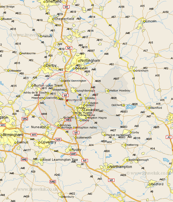
Leicestershire Map Showing Location of Bardon
Population: 26
District: North West Leicestershire
Easting: 448423 Northing: 311648
Latitude: 52.7 Longitude: -1.28
 = Bardon
District: North West Leicestershire
Easting: 448423 Northing: 311648
Latitude: 52.7 Longitude: -1.28
= Bardon
This Bardon map below is supplied by Google. Use the tools in the top left corner to zoom into street level or zoom out for a road map, you may also need to zoom in to see Bardon on the map. Click and drag the map to move around. If the map fails to load try and refresh your browser or zoom in or out (+ or -).
Update - it seems Google no longer allow people to use their maps for free! This Bardon map sometimes loads and sometimes gives a error. I am working on a solution.
Closest 30 Towns or Cities to Bardon (Population over 500)
Markfield 3.7km Swannington 5.82km Coalville 5.91km Woodhouse 5.91km Bagworth 6.5km Shepshed 7.81km Sheepshed 7.81km Ravenstone with Snibston 7.86km Ravenstone 7.86km Belton 8.14km Quorndon 8.69km Ibstock 8.69km Anstey 8.74km Ansty 8.74km Mountsorrel 9.17km Heather 9.18km Desford 9.26km Loughborough 9.3km Barlestone 9.31km Hathern 9.53km Coleorton 9.62km Barrow upon Soar 9.71km Barrow 9.71km Newbold Verdon 9.86km Rothley 10.11km Kirby Muxloe 10.3km Worthington 10.8km Shackerstone 11.54km Diseworth 11.62km Birstall 11.83km