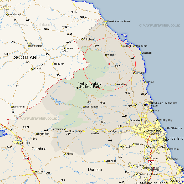
Northumberland Map Showing Location of Roddam
Population: 77
District: Berwick-upon-Tweed
Easting: 402107 Northing: 619209
Latitude: 55.47 Longitude: -1.97
 = Roddam
District: Berwick-upon-Tweed
Easting: 402107 Northing: 619209
Latitude: 55.47 Longitude: -1.97
= Roddam
This Roddam map below is supplied by Google. Use the tools in the top left corner to zoom into street level or zoom out for a road map, you may also need to zoom in to see Roddam on the map. Click and drag the map to move around. If the map fails to load try and refresh your browser or zoom in or out (+ or -).
Update - it seems Google no longer allow people to use their maps for free! This Roddam map sometimes loads and sometimes gives a error. I am working on a solution.
Closest 30 Towns or Cities to Roddam (Population over 500)
Wooler 7.7km Belford 17.03km Rothbury 17.2km Alnwick 18.39km Almwick 18.39km Lowick 18.52km Shilbottle 21.06km North Sunderland 21.92km Embleton 22.13km Beadnell 22.94km Longframlington 23.45km Swarland 23.68km Lisburg 23.95km Lesbury 23.95km Alnmouth 24.29km Warkworth 25.62km Ancroft 26.03km Felton 26.45km Thirston 27.14km East Thirston 27.14km Amble 28.39km Longhorsley 28.87km Norham 30.09km Otterburn 30.54km East Ord 31.66km Ord 31.66km East Chevington 31.66km Berwick on Tweed 35.27km Berwick-upon-Tweed 35.27km Berwick-on-Tweed 35.27km